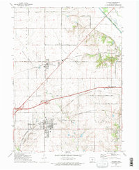
1972 Map of Altoona
USGS Topo · Published 1974About this map
Altoona and Bondurant anchor this 1970s survey of central Iowa, illustrating a landscape defined by the convergence of rail lines and agricultural drainage. The region is bisected by the Chicago and North Western and the Chicago Rock Island and Pacific railroads, which once drove the growth of these prairie settlements. To the northeast, the South Skunk River and its Old Channel highlight the hydrologic engineering of the era, where a system of ditches manages the heavy soil of Franklin and Beaver townships.
Find a feature on this map
40 named features on this map. Tap any name to fly to it.
Don’t see what you’re looking for? This feature index may not catch every label — zoom into the map to look around manually.
Map Details
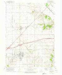
Editions of this 1972 Altoona Map
2 editions found
Other maps of this area

1905 · Des Moines
USGS Topo · 1:62,500

1907 · Des Moines
USGS Topo · 1:62,500

1911 · Slater
USGS Topo · 1:62,500

1913 · Slater
USGS Topo · 1:62,500

1930 · Mitchellville
USGS Topo · 1:62,500

1954 · Des Moines
USGS Topo · 1:250,000

1956 · Des Moines
USGS Topo · 1:250,000

1956 · Des Moines SE
USGS Topo · 1:24,000

1956 · Des Moines NE
USGS Topo · 1:24,000

1956 · Des Moines
USGS Topo · 1:62,500