Loading...
Loading map...2023 Map of Amanda
USGS Topo · Published 2023About this map
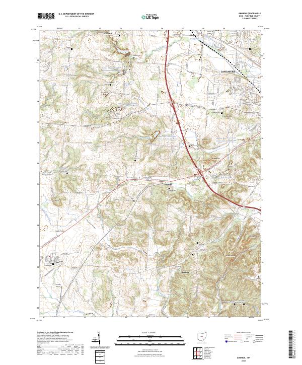
Rock Mill and the headwaters of the Hocking River anchor this topographic view of southwestern Fairfield County. The landscape is defined by the transition from the rolling terrain near Amanda and Hamburg to the more prominent geological formations on the eastern edge. Notable elevations like Claypool Knob, Jacobs Ladder, and Christmas Rocks provide distinct landmarks among the numerous stream valleys, including Crumley Creek and Stonewall Creek.
Find a feature on this map
140 named features on this map. Tap any name to fly to it.
Don’t see what you’re looking for? This feature index may not catch every label — zoom into the map to look around manually.
Map Details
Date Portrayed2023
Date Published2023
PublisherU.S. Geological Survey
Map TypeTopographic
Scale1:24000
Physical Dimensions24 x 29 inches
Editions of this 2023 Amanda Map
This is the sole edition of this map. No revisions or reprints were ever made.
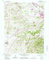
Historical Maps of Hocking Township Through Time
Featured Locations
Source Details
SourceU.S. Geological Survey
CopyrightPublic Domain