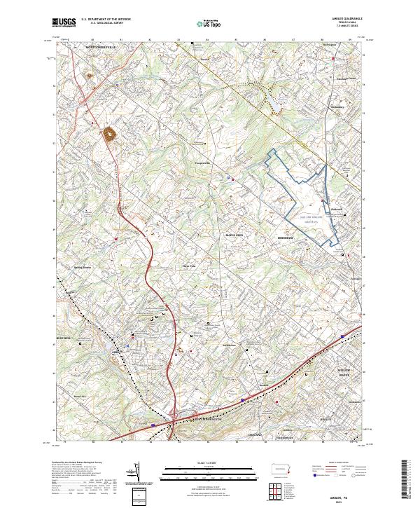
2023 Map of Ambler
USGS Topo · Published 2023About this map
Ambler and the surrounding suburban landscape of Montgomery County appear in high detail, illustrating a dense network of historic settlements and institutional grounds. The area is defined by its significant educational hubs, including Gwynedd Mercy University and Temple University Ambler, alongside numerous memorial sites such as Whitemarsh Memorial Park and the Fitzwater Burial Ground. The terrain is carved by a complex drainage system featuring Wissahickon Creek, Little Neshaminy Creek, and Sandy Run, which shaped the early development of communities like Fort Washington and Willow Grove.
Find a feature on this map
66 named features on this map. Tap any name to fly to it.
Don’t see what you’re looking for? This feature index may not catch every label — zoom into the map to look around manually.
Map Details
Editions of this 2023 Ambler Map
This is the sole edition of this map. No revisions or reprints were ever made.
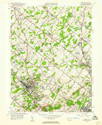
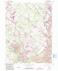
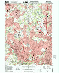
Historical Maps of Jarrettown Through Time
4 maps found
Featured Locations
- Abington Township, PA
- Horsham Township, PA
- Whitemarsh Township, PA
- Warminster Township, PA
- Warrington Township, PA