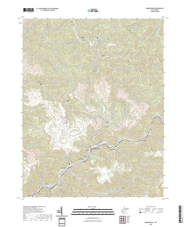
2023 Map of Amherstdale
USGS Topo · Published 2023About this map
Blair Mountain dominates the northern reaches of this landscape, a terrain defined by the deep incisions of the Buffalo Creek and Rum Creek watersheds. This modern mapping of Logan County reveals a dense corridor of settlements following the narrow valley floors, including Amherstdale, Braeholm, Becco, and Latrobe. These communities, often located at the junctions of mountain hollows like Proctor Hollow and Fallrock Hollow, reflect the enduring spatial patterns of the West Virginia coalfields.
Find a feature on this map
91 named features on this map. Tap any name to fly to it.
Don’t see what you’re looking for? This feature index may not catch every label — zoom into the map to look around manually.
Map Details
Editions of this 2023 Amherstdale Map
This is the sole edition of this map. No revisions or reprints were ever made.
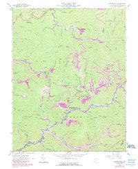
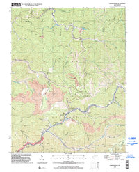
Historical Maps of Accoville Through Time
3 maps found