1996 Map of Amherstdale
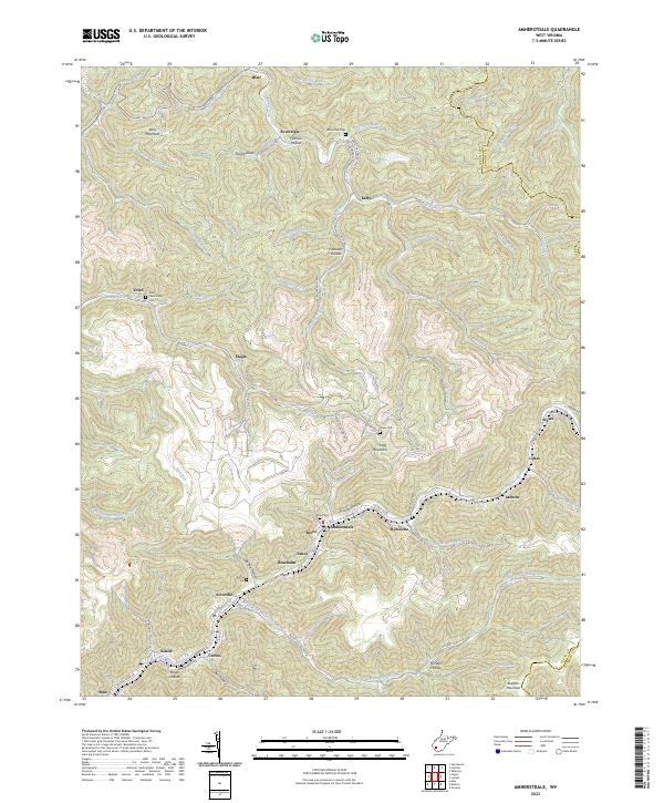
USGS Topo · Published 2002About this map
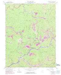
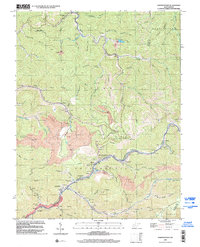
Buffalo Creek serves as the primary corridor for settlement and industry in this late-twentieth-century study of the Logan County coalfields. Dense residential clusters and commercial points like Amherstdale, Accoville, and Braeholm follow the narrow valley floors, hemmed in by steep slopes such as Blair Mtn and Oceana Mountain. The landscape is defined by its extraction economy, with numerous Mine locations and extensive Strip Mine activity visible, particularly between Boardtree Run and Slab Fork. A complex system of Conveyor lines and the CSX railroad network facilitate the movement of resources through the rugged topography of the Triadelphia district. Local community life is anchored by landmarks like Buffalo Sch, Bethel Chapel, and several family burial grounds including Ruffner Cem and White Oak Cem, providing essential points of interest for genealogists and local historians.
Find a feature on this map
83 named features on this map. Tap any name to fly to it.
Don’t see what you’re looking for? This feature index may not catch every label — zoom into the map to look around manually.
Map Details
Editions of this 1996 Amherstdale Map
This is the sole edition of this map. No revisions or reprints were ever made.
Historical Maps of Man Through Time
7 maps found