
1912 Map of Bald Knob
USGS Topo · Published 1912About this map
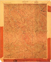
Coal River and its myriad tributaries define this 1912 landscape in southern West Virginia, where the boundaries of Boone, Raleigh, Logan, and Wyoming counties converge. This era shows the early expansion of the C. and O. R. R. into the coal-rich interior, following the narrow valleys of Pond Fork and Marsh Fork. Settlements such as Whitesville, Gordon, and Jarrolds Valley serve as focal points along these water and rail corridors. The terrain is dominated by high ridges, including Cherry Pond Mountain and Bald Knob Mountain, which reach heights like Bald Knob. Local history details include family-named features and rural landmarks such as Jarrolds Field and the isolated settlement at Hecla, providing a clear view of the pre-industrial topography before extensive surface mining altered many of these ridges.
Find a feature on this map
60 named features on this map. Tap any name to fly to it.
Don’t see what you’re looking for? This feature index may not catch every label — zoom into the map to look around manually.
Map Details
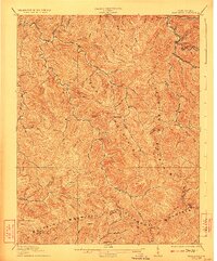
Editions of this 1912 Bald Knob Map
3 editions found
Other maps of this area

1891 · Oceana
USGS Topo · 1:125,000

1891 · Raleigh
USGS Topo · 1:125,000

1893 · Oceana
USGS Topo · 1:125,000

1897 · Kanawha Falls
USGS Topo · 1:125,000

1897 · Raleigh
USGS Topo · 1:125,000

1898 · Oceana
USGS Topo · 1:125,000

1899 · Charleston
USGS Topo · 1:125,000

1900 · Kanawha Falls
USGS Topo · 1:125,000

1901 · Kanawha Falls
USGS Topo · 1:125,000

1902 · Raleigh
USGS Topo · 1:125,000