
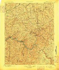
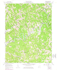
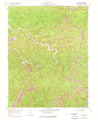
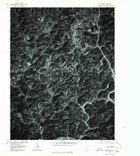
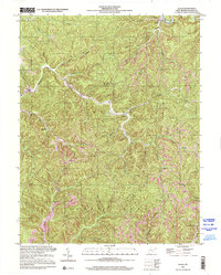
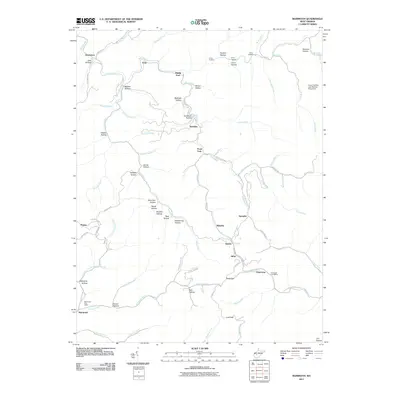
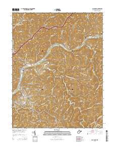
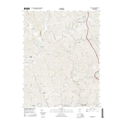
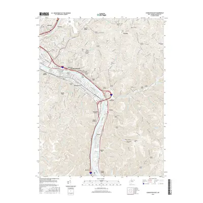
1900 Map of Kanawha Falls
USGS Topo · Published 1900About this map
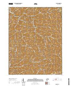
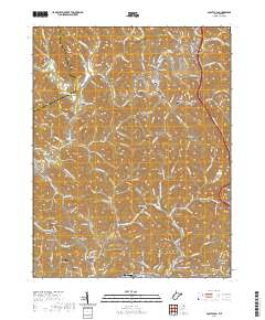
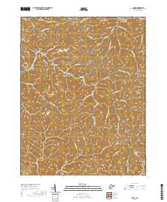
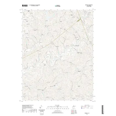
The Kanawha River and its confluence with the Gauley River and New River define the industrial and topographical heart of this West Virginia landscape. Near Kanawha Falls, the transition from the river-level settlements to the high ridges of Cotton Hill and Hawks Nest is starkly documented. The map captures a critical era of transport history, showing the Chesapeake and Ohio RR following the southern bank of the Kanawha while the Kanawha and Michigan RR traces the northern shore. Downstream, the infrastructure of the coal and timber industries is evident through river improvements like Lock 2 and Lock 3. The dense network of small communities such as Coalburg, Montgomery, and Cannelton reflects the era's reliance on river and rail proximity. To the north, the Elk River carves a winding path through territory including Clendenin and Queen Shoal, illustrating the broader reach of these waterway-dependent networks.
Find a feature on this map
111 named features on this map. Tap any name to fly to it.
Don’t see what you’re looking for? This feature index may not catch every label — zoom into the map to look around manually.
Map Details
Editions of this 1900 Kanawha Falls Map
This is the sole edition of this map. No revisions or reprints were ever made.
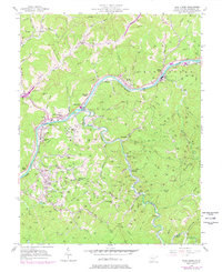
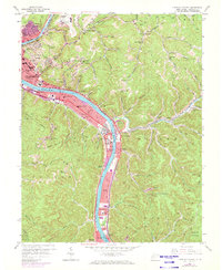
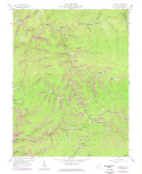
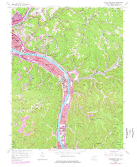
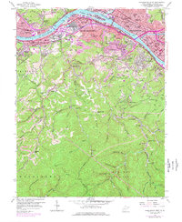
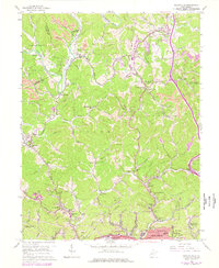
Historical Maps of Oak Hill Through Time
55 maps found

1897 Kanawha Falls
Kanawha County, WV
1900 Kanawha Falls
Kanawha County, WV
1901 Kanawha Falls
Kanawha County, WV
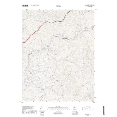
1957 Blue Creek
Kanawha County, WV
1957 Charleston East
Kanawha County, WV
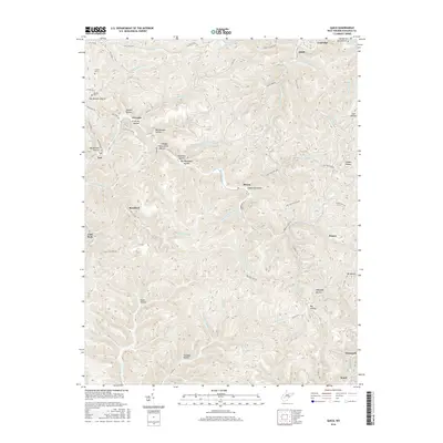
1957 Mammoth
Kanawha County, WV
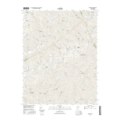
1957 Romance
Kanawha County, WV
1958 Charleston East
Kanawha County, WV
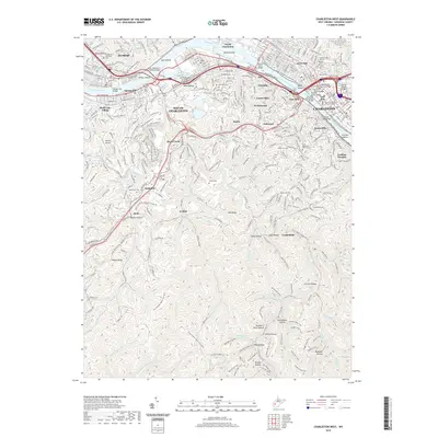
1958 Charleston West
Kanawha County, WV
1958 Pocatalico
Kanawha County, WV
1958 Quick
Kanawha County, WV
1977 Blue Creek
Kanawha County, WV
1977 Charleston East
Kanawha County, WV
1977 Charleston West
Kanawha County, WV
1977 Pocatalico
Kanawha County, WV

1994 Pocatalico
Kanawha County, WV
1996 Charleston East
Kanawha County, WV
1996 Charleston West
Kanawha County, WV
1996 Mammoth
Kanawha County, WV
2000 Quick
Kanawha County, WV
2011 Blue Creek
Kanawha County, WV
2011 Charleston East
Kanawha County, WV
2011 Charleston West
Kanawha County, WV
2011 Mammoth
Kanawha County, WV
2011 Pocatalico
Kanawha County, WV
2011 Quick
Kanawha County, WV
2011 Romance
Kanawha County, WV
2014 Blue Creek
Kanawha County, WV
2014 Charleston East
Kanawha County, WV
2014 Charleston West
Kanawha County, WV
2014 Mammoth
Kanawha County, WV
2014 Pocatalico
Kanawha County, WV
2014 Quick
Kanawha County, WV
2014 Romance
Kanawha County, WV
2016 Blue Creek
Kanawha County, WV
2016 Charleston East
Kanawha County, WV
2016 Charleston West
Kanawha County, WV
2016 Mammoth
Kanawha County, WV
2016 Pocatalico
Kanawha County, WV
2016 Quick
Kanawha County, WV
2016 Romance
Kanawha County, WV
2019 Blue Creek
Kanawha County, WV

2019 Charleston East
Kanawha County, WV
2019 Charleston West
Kanawha County, WV
2019 Mammoth
Kanawha County, WV
2019 Pocatalico
Kanawha County, WV
2019 Quick
Kanawha County, WV
2019 Romance
Kanawha County, WV
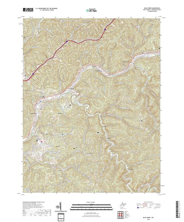
2023 Blue Creek
Kanawha County, WV
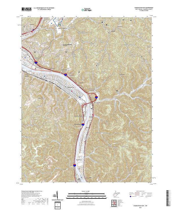
2023 Charleston East
Kanawha County, WV
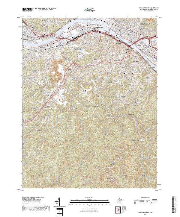
2023 Charleston West
Kanawha County, WV
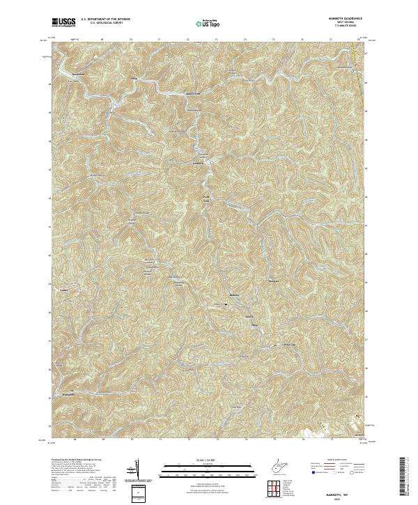
2023 Mammoth
Kanawha County, WV
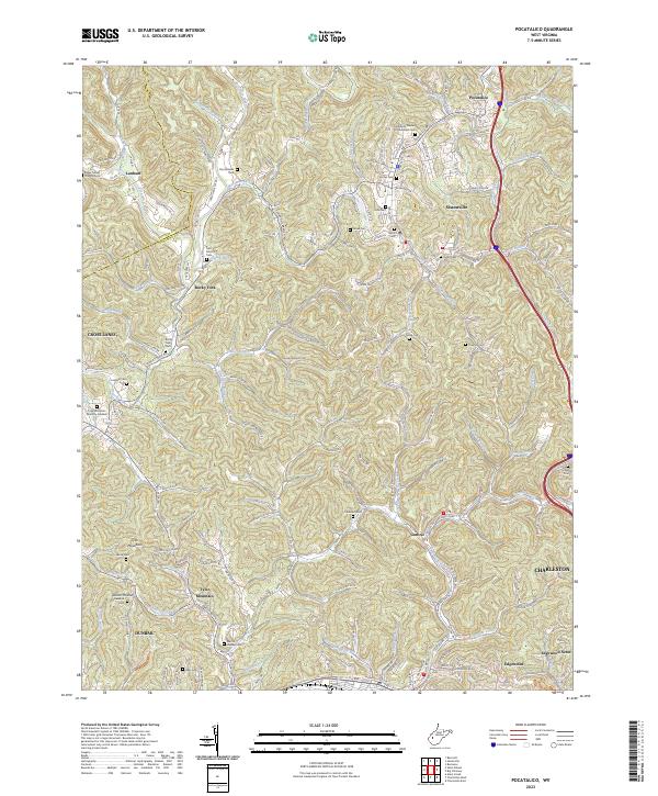
2023 Pocatalico
Kanawha County, WV
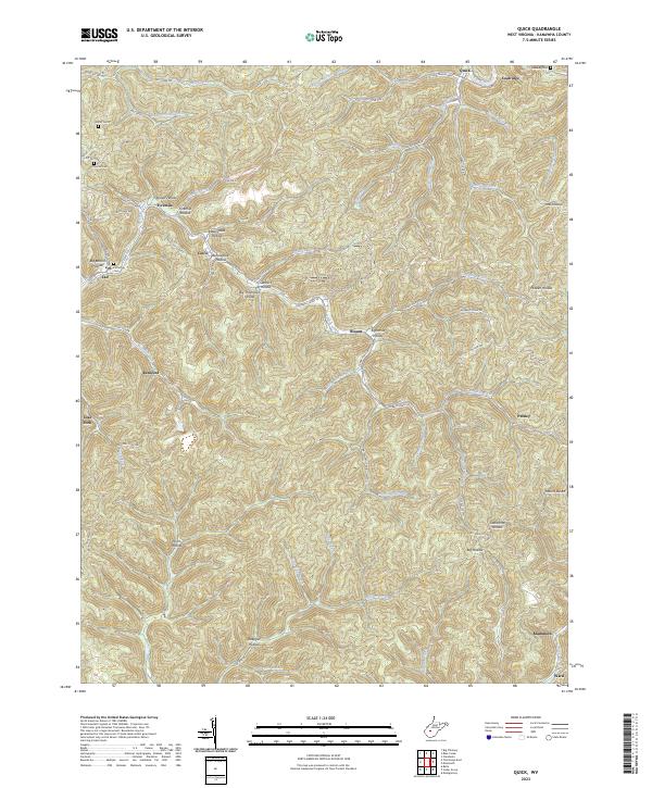
2023 Quick
Kanawha County, WV
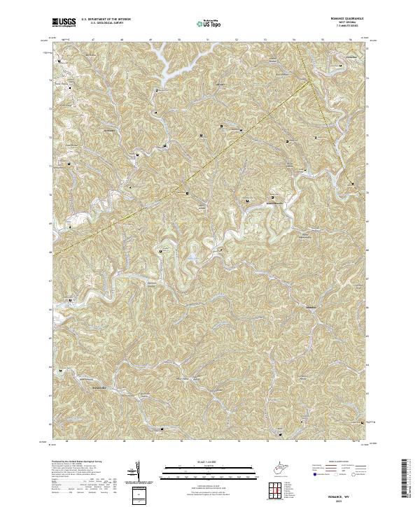
2023 Romance
Kanawha County, WV