
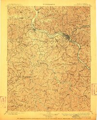
1899 Map of Charleston
USGS Topo · Published 1899About this map
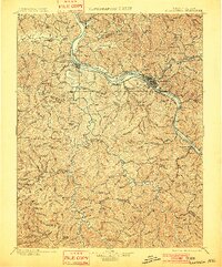
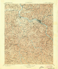
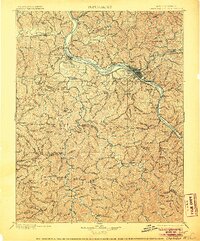
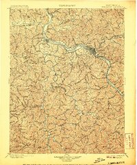
Charleston and the surrounding river valleys of Kanawha Co. are captured here during a period of rapid industrial expansion driven by the coal and timber trade. The landscape is defined by the winding Kanawha River, where several distinct rail lines converge to transport resources from the hills. The Chesapeake and Ohio R. R. follows the main river corridor, while specialized branches like the Winifrede R. R. and Campbells Creek R. R. reach into the hollows to serve industrial sites like the Graham Mines and Peerless.
Find a feature on this map
116 named features on this map. Tap any name to fly to it.
Don’t see what you’re looking for? This feature index may not catch every label — zoom into the map to look around manually.
Map Details
Editions of this 1899 Charleston Map
6 editions found
Other maps of this area

1887 · Warfield
USGS Topo · 1:125,000

1891 · Oceana
USGS Topo · 1:125,000

1891 · Raleigh
USGS Topo · 1:125,000

1891 · Warfield
USGS Topo · 1:125,000

1892 · Huntington
USGS Topo · 1:125,000

1893 · Oceana
USGS Topo · 1:125,000

1897 · Kanawha Falls
USGS Topo · 1:125,000

1897 · Raleigh
USGS Topo · 1:125,000

1898 · Huntington
USGS Topo · 1:125,000

1898 · Oceana
USGS Topo · 1:125,000