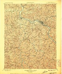
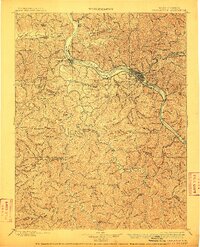
1899 Map of Charleston
USGS Topo · Published 1907About this map
Charleston and its surrounding coalfields and river valleys are documented here during a period of rapid industrial growth at the end of the 19th century. The confluence of the Elk River and Kanawha River serves as the focal point, where the Kanawha & Michigan R.R. and Chesapeake and Ohio R.R. lines facilitate the movement of coal from sites like Graham Mines and the Winifrede area. This map reveals a landscape defined by its waterways, showing several early river navigation aids including Lock Seven and Lock 6.
Find a feature on this map
140 named features on this map. Tap any name to fly to it.
Don’t see what you’re looking for? This feature index may not catch every label — zoom into the map to look around manually.
Map Details
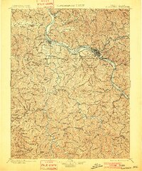
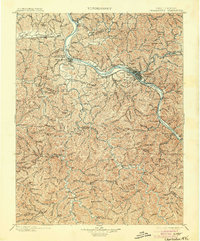
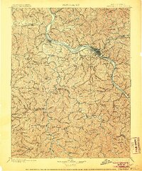
Editions of this 1899 Charleston Map
6 editions found

Other maps of this area

1887 · Warfield
USGS Topo · 1:125,000

1891 · Oceana
USGS Topo · 1:125,000

1891 · Raleigh
USGS Topo · 1:125,000

1891 · Warfield
USGS Topo · 1:125,000

1892 · Huntington
USGS Topo · 1:125,000

1893 · Oceana
USGS Topo · 1:125,000

1897 · Kanawha Falls
USGS Topo · 1:125,000

1897 · Raleigh
USGS Topo · 1:125,000

1898 · Huntington
USGS Topo · 1:125,000

1898 · Oceana
USGS Topo · 1:125,000