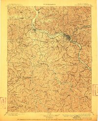
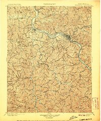
1899 Map of Charleston
USGS Topo · Published 1910About this map
Charleston and its surrounding river valleys define this late nineteenth-century landscape, where industrial progress follows the winding course of the Kanawha River. The map captures a critical period of development before modern urbanization, showing a network of river locks including Lock Seven and Lock 6 that facilitated heavy transport. To the east, the extraction economy is evident at the Graham Mines, while the Chesapeake and Ohio R. R. and Kanawha and Michigan R. R. anchor the region's connectivity.
Find a feature on this map
70 named features on this map. Tap any name to fly to it.
Don’t see what you’re looking for? This feature index may not catch every label — zoom into the map to look around manually.
Map Details
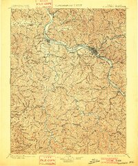
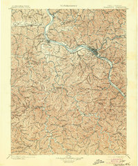
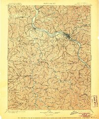
Editions of this 1899 Charleston Map
6 editions found

Other maps of this area

1887 · Warfield
USGS Topo · 1:125,000

1891 · Oceana
USGS Topo · 1:125,000

1891 · Raleigh
USGS Topo · 1:125,000

1891 · Warfield
USGS Topo · 1:125,000

1892 · Huntington
USGS Topo · 1:125,000

1893 · Oceana
USGS Topo · 1:125,000

1897 · Kanawha Falls
USGS Topo · 1:125,000

1897 · Raleigh
USGS Topo · 1:125,000

1898 · Huntington
USGS Topo · 1:125,000

1898 · Oceana
USGS Topo · 1:125,000