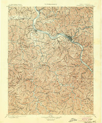
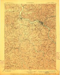
1899 Map of Charleston
USGS Topo · Published 1904About this map
Charleston and its surrounding river valleys dominate this landscape at a time when West Virginia's coal and timber industries were rapidly expanding via a complex network of railroads and waterways. The Kanawha River serves as the central artery, supported by early infrastructure including Lock Seven and Lock 6, while the Chesapeake and Ohio R. R. and the Kanawha and Michigan Div. track the riverbanks. To the south, smaller communities like Madison and Danville are situated along the Little Coal River, illustrating the era's focus on resource extraction in the hinterlands.
Find a feature on this map
123 named features on this map. Tap any name to fly to it.
Don’t see what you’re looking for? This feature index may not catch every label — zoom into the map to look around manually.
Map Details
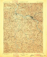
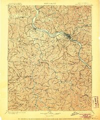
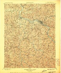
Editions of this 1899 Charleston Map
6 editions found

Other maps of this area

1887 · Warfield
USGS Topo · 1:125,000

1891 · Oceana
USGS Topo · 1:125,000

1891 · Raleigh
USGS Topo · 1:125,000

1891 · Warfield
USGS Topo · 1:125,000

1892 · Huntington
USGS Topo · 1:125,000

1893 · Oceana
USGS Topo · 1:125,000

1897 · Kanawha Falls
USGS Topo · 1:125,000

1897 · Raleigh
USGS Topo · 1:125,000

1898 · Huntington
USGS Topo · 1:125,000

1898 · Oceana
USGS Topo · 1:125,000