
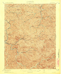
1913 Map of Logan
USGS Topo · Published 1913About this map
The Guyandot River winds through the heart of this landscape, anchoring a network of coal and timber settlements that defined the region before the First World War. The county seat at Logan serves as the primary hub, surrounded by smaller communities such as Stollings, McConnell, and Henlawson. This period shows the early influence of the And O RR, which follows the river and its major tributaries, including Dingess Run and Buffalo Creek, facilitating the growth of industrial outposts like Ethel and Clothier.
Find a feature on this map
88 named features on this map. Tap any name to fly to it.
Don’t see what you’re looking for? This feature index may not catch every label — zoom into the map to look around manually.
Map Details
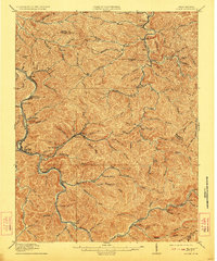
Editions of this 1913 Logan Map
3 editions found
Other maps of this area

1887 · Warfield
USGS Topo · 1:125,000

1891 · Oceana
USGS Topo · 1:125,000

1891 · Warfield
USGS Topo · 1:125,000

1892 · Huntington
USGS Topo · 1:125,000

1893 · Oceana
USGS Topo · 1:125,000

1898 · Huntington
USGS Topo · 1:125,000

1898 · Oceana
USGS Topo · 1:125,000

1899 · Charleston
USGS Topo · 1:125,000

1902 · Midkiff
USGS Topo · 1:62,500

1907 · Midkiff
USGS Topo · 1:62,500