
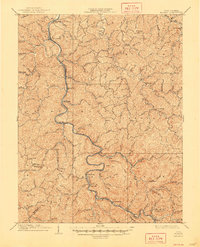
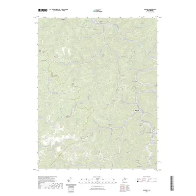
1907 Map of Midkiff
USGS Topo · Published 1964About this map
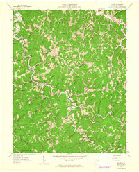
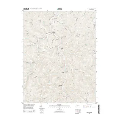
The Guyandotte River winds through the heart of this Appalachian landscape, serving as the primary corridor for settlement and transit at the start of the 20th century. Parallel to the water, the Chesapeake and Ohio River RR links riverfront communities like Branchland, Midkiff, and Ranger. The map reveals a highly dispersed settlement pattern, where small post offices and family-named hamlets like Laverne PO Brown City and Palermo are tucked into the narrow hollows of the Mud River and its myriad tributaries.
Find a feature on this map
145 named features on this map. Tap any name to fly to it.
Don’t see what you’re looking for? This feature index may not catch every label — zoom into the map to look around manually.
Map Details
Editions of this 1907 Midkiff Map
This is the sole edition of this map. No revisions or reprints were ever made.
Historical Maps of Hager Through Time
33 maps found

1902 Midkiff
Lincoln County, WV
1907 Midkiff
Lincoln County, WV
1909 Midkiff
Lincoln County, WV
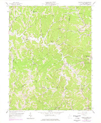
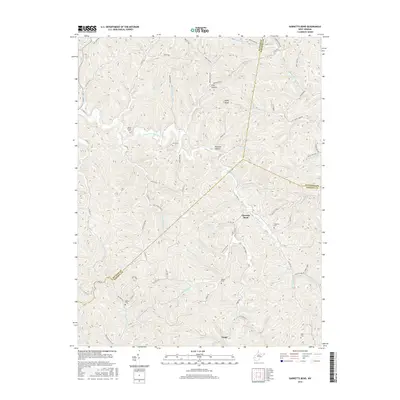
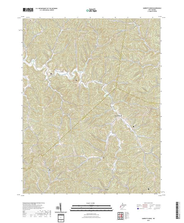
1958 Garretts Bend
Lincoln County, WV
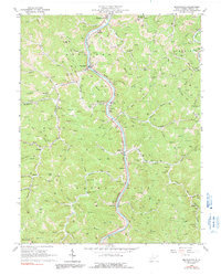
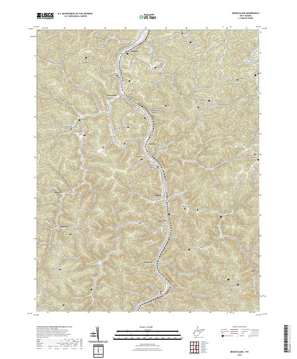
1962 Branchland
Lincoln County, WV
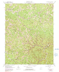
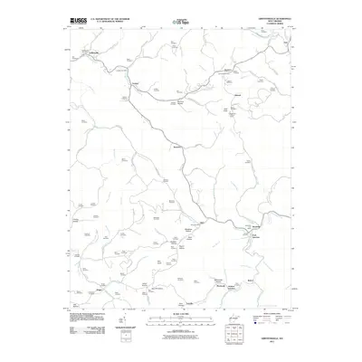
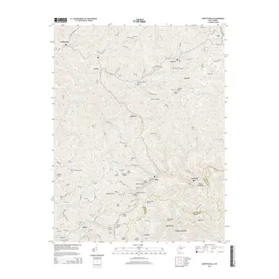
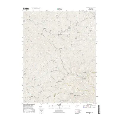
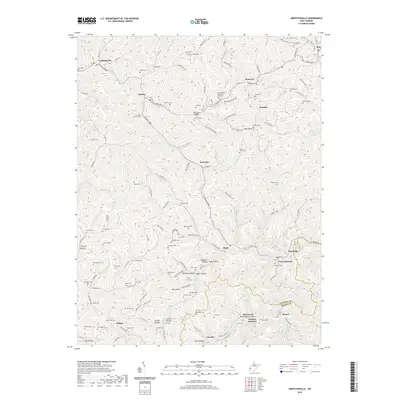
1962 Griffithsville
Lincoln County, WV
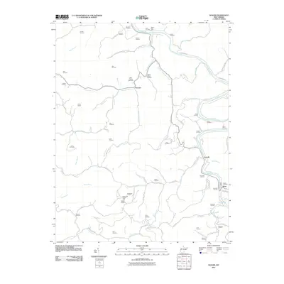
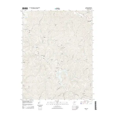
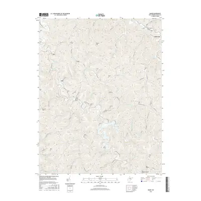
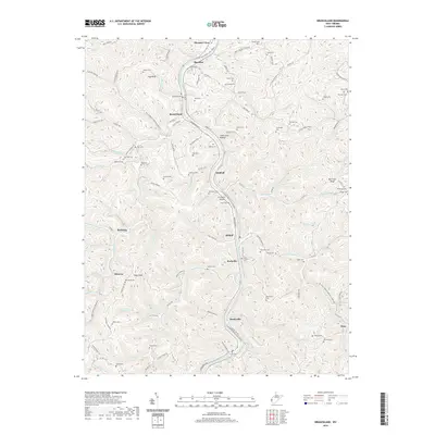
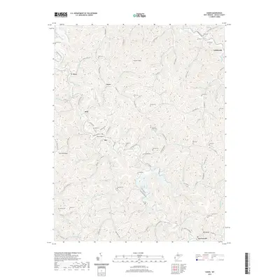
1962 Hager
Lincoln County, WV
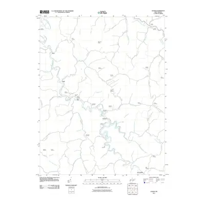
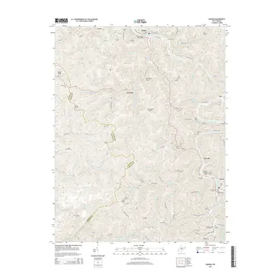
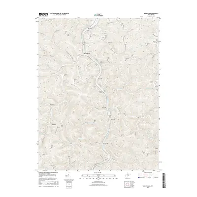
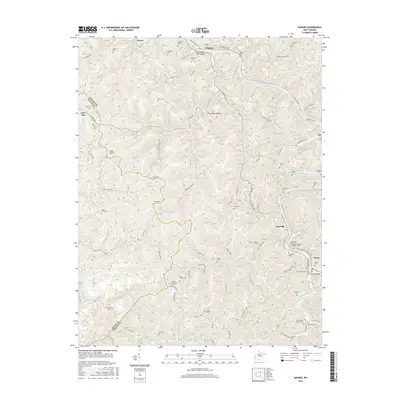
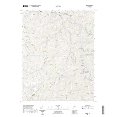
1962 Ranger
Lincoln County, WV
2011 Branchland
Lincoln County, WV
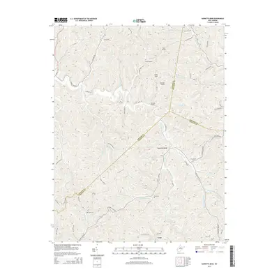
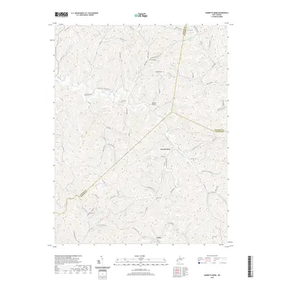
2011 Garretts Bend
Lincoln County, WV
2011 Griffithsville
Lincoln County, WV
2011 Hager
Lincoln County, WV
2011 Ranger
Lincoln County, WV
2014 Branchland
Lincoln County, WV
2014 Garretts Bend
Lincoln County, WV
2014 Griffithsville
Lincoln County, WV
2014 Hager
Lincoln County, WV
2014 Ranger
Lincoln County, WV
2016 Branchland
Lincoln County, WV
2016 Garretts Bend
Lincoln County, WV
2016 Griffithsville
Lincoln County, WV
2016 Hager
Lincoln County, WV
2016 Ranger
Lincoln County, WV
2019 Branchland
Lincoln County, WV
2019 Garretts Bend
Lincoln County, WV
2019 Griffithsville
Lincoln County, WV
2019 Hager
Lincoln County, WV
2019 Ranger
Lincoln County, WV
2023 Branchland
Lincoln County, WV
2023 Garretts Bend
Lincoln County, WV
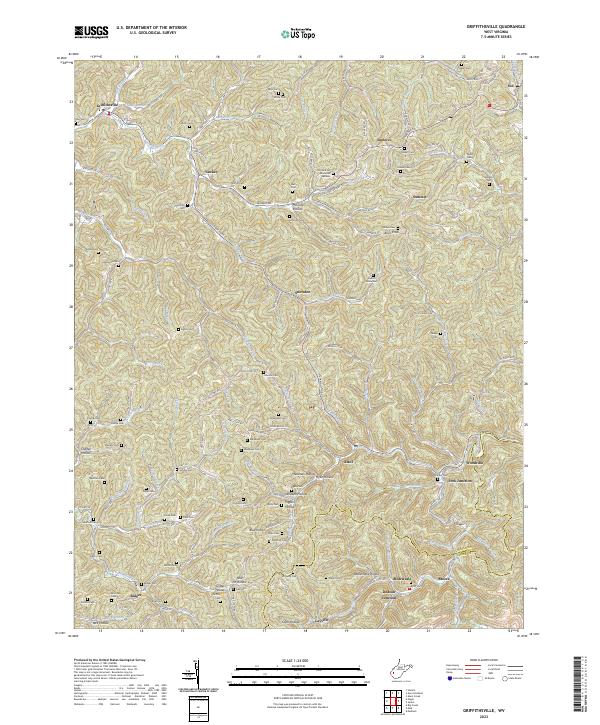
2023 Griffithsville
Lincoln County, WV
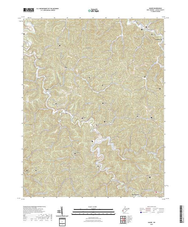
2023 Hager
Lincoln County, WV
2023 Ranger
Lincoln County, WV