
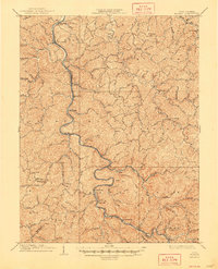
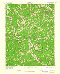
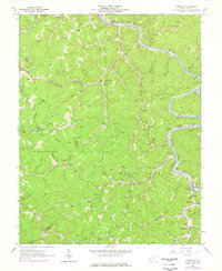
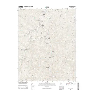
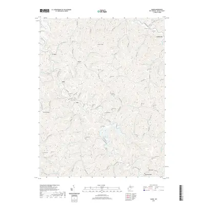
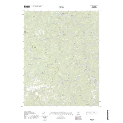
1902 Map of Midkiff
USGS Topo · Published 1925About this map
The Mud River and the Chesapeake and Ohio RR define the primary corridor of development across this portion of Cabell, Lincoln, and Putnam Counties. The settlement at Milton serves as a central hub along the rail line, while the ancient Teays Valley remains a distinct topographical feature to the east, hosting towns like Culloden and Hurricane. This 1902 survey, reprinted in 1925, reveals a landscape moving from a purely agrarian river-valley economy toward one connected by heavy rail infrastructure.
Find a feature on this map
65 named features on this map. Tap any name to fly to it.
Don’t see what you’re looking for? This feature index may not catch every label — zoom into the map to look around manually.
Map Details
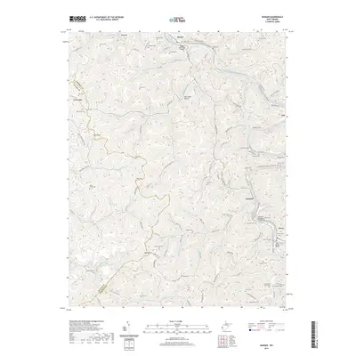
Editions of this 1902 Midkiff Map
This is the sole edition of this map. No revisions or reprints were ever made.
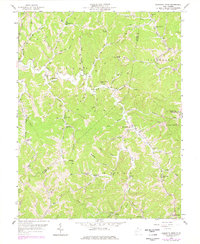
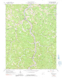
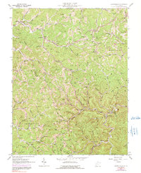
Historical Maps of Hager Through Time
33 maps found
1902 Midkiff
Lincoln County, WV

1907 Midkiff
Lincoln County, WV
1909 Midkiff
Lincoln County, WV
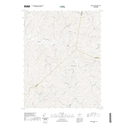
1958 Garretts Bend
Lincoln County, WV
1962 Branchland
Lincoln County, WV
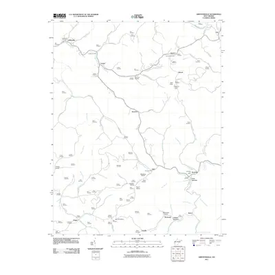
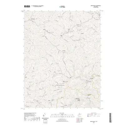
1962 Griffithsville
Lincoln County, WV
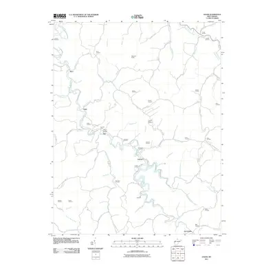
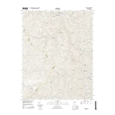
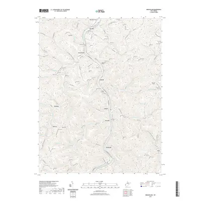
1962 Hager
Lincoln County, WV
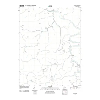
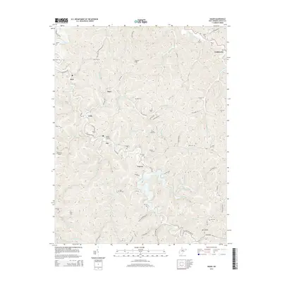
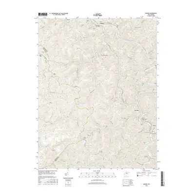
1962 Ranger
Lincoln County, WV
2011 Branchland
Lincoln County, WV
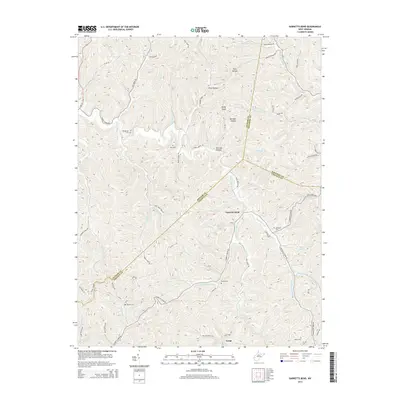
2011 Garretts Bend
Lincoln County, WV
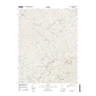
2011 Griffithsville
Lincoln County, WV
2011 Hager
Lincoln County, WV
2011 Ranger
Lincoln County, WV
2014 Branchland
Lincoln County, WV
2014 Garretts Bend
Lincoln County, WV
2014 Griffithsville
Lincoln County, WV
2014 Hager
Lincoln County, WV
2014 Ranger
Lincoln County, WV
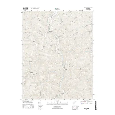
2016 Branchland
Lincoln County, WV
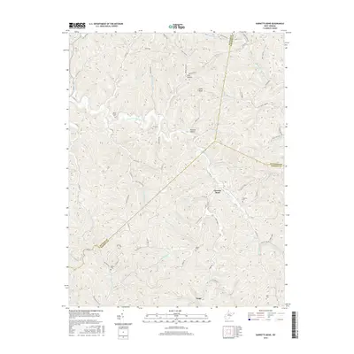
2016 Garretts Bend
Lincoln County, WV
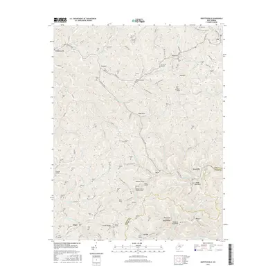
2016 Griffithsville
Lincoln County, WV
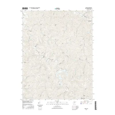
2016 Hager
Lincoln County, WV
2016 Ranger
Lincoln County, WV
2019 Branchland
Lincoln County, WV
2019 Garretts Bend
Lincoln County, WV
2019 Griffithsville
Lincoln County, WV
2019 Hager
Lincoln County, WV
2019 Ranger
Lincoln County, WV
2023 Branchland
Lincoln County, WV
2023 Garretts Bend
Lincoln County, WV
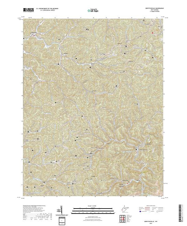
2023 Griffithsville
Lincoln County, WV
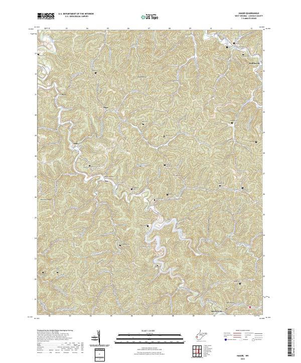
2023 Hager
Lincoln County, WV
2023 Ranger
Lincoln County, WV