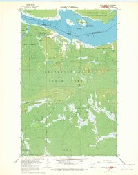
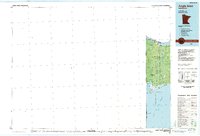
1967 Map of Angle Inlet
USGS Topo · Published 1969About this map
The northernmost point of the contiguous United States comes into sharp focus in this 1960s survey of the Northwest Angle. This unique geographic chimney is defined by the international boundary between the Canada United States border and Ontario Minnesota line. The landscape is primarily one of low-lying water and dense timber, dominated by the Northwest Angle State Forest and the expansive Caribou Bog.
Find a feature on this map
20 named features on this map. Tap any name to fly to it.
Don’t see what you’re looking for? This feature index may not catch every label — zoom into the map to look around manually.
Map Details
Editions of this 1967 Angle Inlet Map
This is the sole edition of this map. No revisions or reprints were ever made.
Other maps of this area

1918 · Buffalo Bay
USGS Topo · 1:62,500
1918 · Oak Island
USGS Topo · 1:62,500

1963 · Kenora
USGS Topo · 1:250,000
1967 · Flag Island
USGS Topo · 1:24,000
1967 · Buffalo Bay NW
USGS Topo · 1:24,000
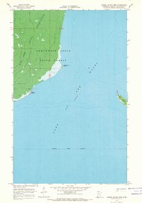
1967 · Garden Island West
USGS Topo · 1:24,000
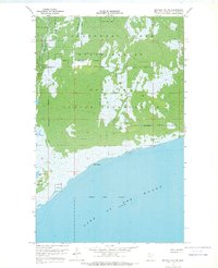
1967 · Buffalo Bay NE
USGS Topo · 1:24,000
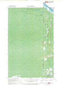
1967 · Angle Inlet SW
USGS Topo · 1:24,000
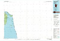
1985 · Oak Island
USGS Topo · 1:100,000
1985 · Angle Inlet
USGS Topo · 1:100,000