2024 Map of Anna
USGS Topo · Published 2024About this map
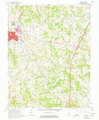
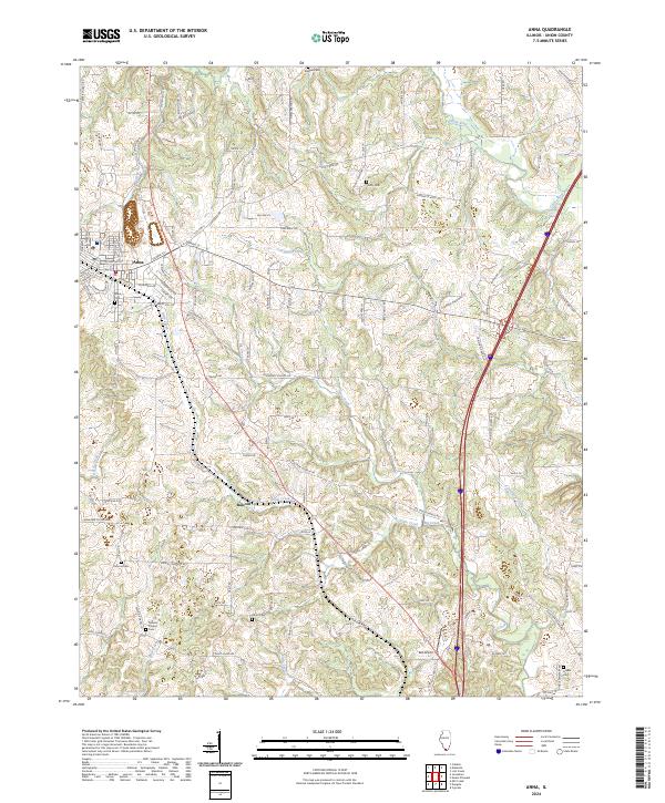
The settlement of Anna serves as the primary hub in this Union County landscape, where the street grid of the town center gives way to a network of rural roads and family-named landmarks. The topography is defined by the winding paths of Cypress Creek and the Cache River, which cut through the undulating terrain of Southern Illinois. Small-scale agriculture and rural life are evident in the numerous burial grounds scattered across the area, including Anna Cem, Kimmel Cem, and Union Cem. Further south, the small community of Balcom sits near the confluence of Little Creek and Big Creek, illustrating the historical importance of these waterways to local settlement patterns. Notable local landmarks like Keil Airport and religious sites such as Mission Chapel and Ebenezer Church reflect the community's long-standing social and transportation infrastructure.
Find a feature on this map
110 named features on this map. Tap any name to fly to it.
Don’t see what you’re looking for? This feature index may not catch every label — zoom into the map to look around manually.
Map Details
Editions of this 2024 Anna Map
This is the sole edition of this map. No revisions or reprints were ever made.