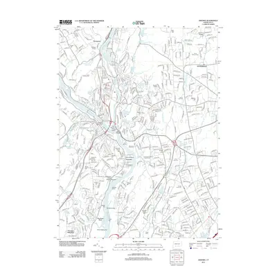
2012 Map of Ansonia
USGS Topo · Published 2012About this map
The Housatonic River and Naugatuck River define this industrial and suburban landscape in southern Connecticut, where the river valley historically shaped the growth of communities like East Derby and Sunnyside. A high concentration of burial grounds, including the Elm Street Cem and the Congregation Bethel of Ansonia Cem, provides a detailed record for genealogists studying the area's diverse heritage. Infrastructure remains a focal point, with the Metro-North rail line following the riverbanks and the Ansonia Airfield situated on the eastern heights. The terrain is marked by numerous small hills such as Coram Hill and Windy Hill, while water management is evident in the Quillian Reservoir and Fountain Lake Reservoir. This survey highlights the shift from river-based industry toward recreational and residential development, seen in features like the Highland Golf Course and the Sunnyside Boat Ramp.
Find a feature on this map
80 named features on this map. Tap any name to fly to it.
Don’t see what you’re looking for? This feature index may not catch every label — zoom into the map to look around manually.
Map Details
Editions of this 2012 Ansonia Map
This is the sole edition of this map. No revisions or reprints were ever made.
Other maps of this area

1889 · Derby
USGS Topo · 1:62,500

1891 · Bridgeport
USGS Topo · 1:62,500

1891 · Derby
USGS Topo · 1:62,500

1892 · New Haven
USGS Topo · 1:62,500

1893 · Bridgeport
USGS Topo · 1:62,500

1893 · Derby
USGS Topo · 1:62,500

1920 · Bridgeport
USGS Topo · 1:62,500

1921 · New Haven
USGS Topo · 1:62,500

1943 · New Haven
USGS Topo · 1:31,680

1943 · Naugatuck
USGS Topo · 1:31,680