2022 Map of Ansonville
USGS Topo · Published 2022About this map
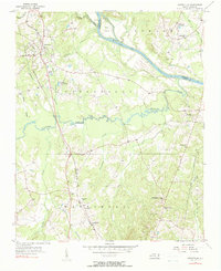
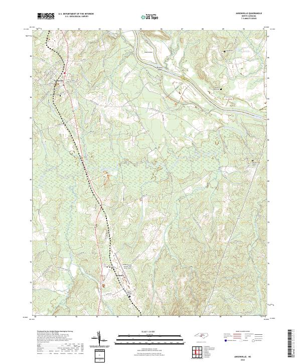
Ansonville serves as the primary hub of this landscape, situated near the headwaters of several drainages that feed into the Pee Dee River. The settlement pattern reflects a deeply rooted rural community, with family and church-affiliated burial grounds like Bethlehem Cem and Legrand Cem scattered among the winding rural roads. The terrain is defined by the braided path of Brown Creek and the river border shared with Richmond County, where landforms like Leak Island and Buzzard Island break the water's flow. Modern regional connectivity is anchored by the Anson County Airport/Jeff Cloud Field south of town. Notable for genealogists, several historically named locations such as Pinkston and the Machine House Cem provide specific geographic markers for tracing family heritage in this section of the Piedmont.
Find a feature on this map
69 named features on this map. Tap any name to fly to it.
Don’t see what you’re looking for? This feature index may not catch every label — zoom into the map to look around manually.
Map Details
Editions of this 2022 Ansonville Map
This is the sole edition of this map. No revisions or reprints were ever made.