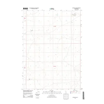
2013 Map of Antelope Lake
USGS Topo · Published 2013About this map
The high desert landscape of Idaho-Blaine County is defined here by its volcanic geology and sparse water sources as documented in 2013. The southwestern corner of the sheet is dominated by the Great Rift, a massive geological fissure that speaks to the volcanic history of the Snake River Plain. Water management and seasonal hydrology are central to this arid environment, represented by named catchment areas such as Road Lake Waterhole, Corner Reservoir, and the namesake Antelope Lake.
Find a feature on this map
10 named features on this map. Tap any name to fly to it.
Don’t see what you’re looking for? This feature index may not catch every label — zoom into the map to look around manually.
Map Details
Editions of this 2013 Antelope Lake Map
This is the sole edition of this map. No revisions or reprints were ever made.
Other maps of this area

1955 · Idaho Falls
USGS Topo · 1:250,000

1958 · Idaho Falls
USGS Topo · 1:250,000

1972 · Antelope Lake
USGS Topo · 1:24,000

1972 · Split Top
USGS Topo · 1:24,000

1972 · Mule Butte
USGS Topo · 1:24,000

1972 · Pratt Butte
USGS Topo · 1:24,000

1972 · Mosby Well
USGS Topo · 1:24,000

1972 · Mosby Butte
USGS Topo · 1:24,000

1972 · Bear Park East
USGS Topo · 1:24,000

1972 · Sunset Lake
USGS Topo · 1:24,000