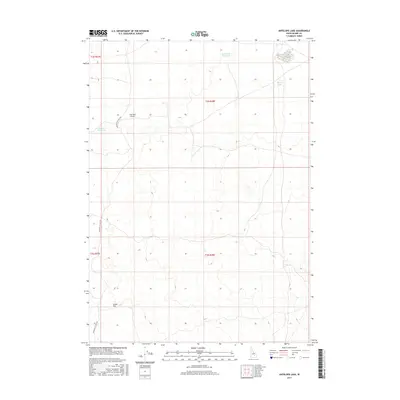
2017 Map of Antelope Lake
USGS Topo · Published 2017About this map
Great Rift terrain dominates this portion of the Idaho high desert, where water sources are sparse and highly localized. These isolated water features, including Road Lake Waterhole, Martin Lake, and Antelope Lake, serve as critical landmarks in an otherwise arid expanse. The map illustrates a landscape of large-scale ranching and transit, evidenced by the presence of the Coxs Well Airport and the long stretch of the Minidoka To Arco Rd. This infrastructure underscores the area's role as a remote corridor between northern and southern points in Blaine County. The proximity of the Corner Reservoir to established township and range boundaries further highlights the intersection of natural resources and formal land management in this sparsely populated high-altitude environment.
Find a feature on this map
11 named features on this map. Tap any name to fly to it.
Don’t see what you’re looking for? This feature index may not catch every label — zoom into the map to look around manually.
Map Details
Editions of this 2017 Antelope Lake Map
This is the sole edition of this map. No revisions or reprints were ever made.
Other maps of this area

1955 · Idaho Falls
USGS Topo · 1:250,000

1958 · Idaho Falls
USGS Topo · 1:250,000

1972 · Antelope Lake
USGS Topo · 1:24,000

1972 · Split Top
USGS Topo · 1:24,000

1972 · Mule Butte
USGS Topo · 1:24,000

1972 · Pratt Butte
USGS Topo · 1:24,000

1972 · Mosby Well
USGS Topo · 1:24,000

1972 · Mosby Butte
USGS Topo · 1:24,000

1972 · Bear Park East
USGS Topo · 1:24,000

1972 · Sunset Lake
USGS Topo · 1:24,000