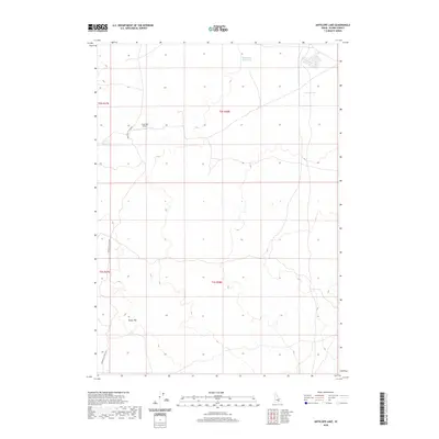
2020 Map of Antelope Lake
USGS Topo · Published 2020About this map
The Great Rift dominates this section of Blaine County, highlighting the complex volcanic geography that defines the Idaho high desert. This 2020 topographic study illustrates the sparse human footprint in a landscape primarily utilized for transit and seasonal water access. The historical Minidoka To Arco Rd cuts through the western portion of the map, serving as a primary corridor through this lava-strewn terrain. Isolated water features like the Road Lake Waterhole, Martin Lake, and Corner Reservoir provide critical landmarks and resources in an otherwise arid environment. Evidence of localized aviation infrastructure is seen at Coxs Well Airport, while the underlying Public Land Survey System grid of t2s r28e and surrounding townships remains the primary framework for land management in this sparsely populated region.
Find a feature on this map
10 named features on this map. Tap any name to fly to it.
Don’t see what you’re looking for? This feature index may not catch every label — zoom into the map to look around manually.
Map Details
Editions of this 2020 Antelope Lake Map
This is the sole edition of this map. No revisions or reprints were ever made.
Other maps of this area

1955 · Idaho Falls
USGS Topo · 1:250,000

1958 · Idaho Falls
USGS Topo · 1:250,000

1972 · Antelope Lake
USGS Topo · 1:24,000

1972 · Split Top
USGS Topo · 1:24,000

1972 · Mule Butte
USGS Topo · 1:24,000

1972 · Pratt Butte
USGS Topo · 1:24,000

1972 · Mosby Well
USGS Topo · 1:24,000

1972 · Mosby Butte
USGS Topo · 1:24,000

1972 · Bear Park East
USGS Topo · 1:24,000

1972 · Sunset Lake
USGS Topo · 1:24,000