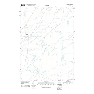
2010 Map of Antwerp
USGS Topo · Published 2010About this map
The Antwerp settlement serves as the primary focal point of this northern New York landscape, situated at a bend in the Indian River. The village layout is clearly defined, with Hillside Cemetery located on its southern outskirts near the river's path. Waterways dominate the surrounding rural terrain, providing a look at the drainage patterns of Jefferson County where Matoon Creek and Hawkins Creek flow from the north. To the east and south, the hydrology becomes increasingly intricate, featuring Rockwell Creek, Cold Creek, and the isolated Dority Pond. The map illustrates the 2010 distribution of road networks and property boundaries, showing how the local infrastructure centers on the historic village core while the surrounding acreage remains largely defined by its natural watercourses.
Find a feature on this map
8 named features on this map. Tap any name to fly to it.
Don’t see what you’re looking for? This feature index may not catch every label — zoom into the map to look around manually.
Map Details
Editions of this 2010 Antwerp Map
This is the sole edition of this map. No revisions or reprints were ever made.
Other maps of this area

1911 · Antwerp
USGS Topo · 1:62,500

1912 · Hammond
USGS Topo · 1:62,500

1913 · Lake Bonaparte
USGS Topo · 1:62,500

1915 · Gouverneur
USGS Topo · 1:62,500

1916 · Lake Bonaparte
USGS Topo · 1:62,500

1937 · Gouverneur
USGS Topo · 1:62,500

1944 · Hammond
USGS Topo · 1:62,500

1948 · Ogdensburg
USGS Topo · 1:250,000

1949 · Hammond
USGS Topo · 1:62,500

1949 · Antwerp
USGS Topo · 1:62,500