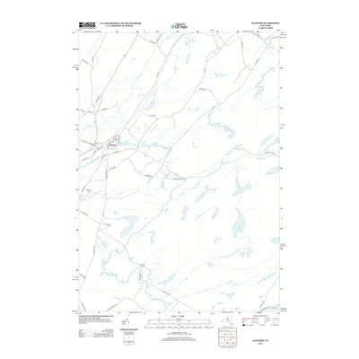
2013 Map of Antwerp
USGS Topo · Published 2013About this map
Antwerp sits as the central hub of this Jefferson County landscape, where the Indian River winds through the terrain alongside the sprawling northern boundary of Fort Drum. The village grid is clearly defined, showing the layout of Main St, Washington St, and Depot St, marking a community shaped by its proximity to both the river and the historic rail corridor. Outside the village, the land is etched by a network of waterways including Matoon Cr, Hawkins Cr, and Rockwell Cr, alongside notable landmarks like Hillside Cem.
Find a feature on this map
42 named features on this map. Tap any name to fly to it.
Don’t see what you’re looking for? This feature index may not catch every label — zoom into the map to look around manually.
Map Details
Editions of this 2013 Antwerp Map
This is the sole edition of this map. No revisions or reprints were ever made.
Other maps of this area

1911 · Antwerp
USGS Topo · 1:62,500

1912 · Hammond
USGS Topo · 1:62,500

1913 · Lake Bonaparte
USGS Topo · 1:62,500

1915 · Gouverneur
USGS Topo · 1:62,500

1916 · Lake Bonaparte
USGS Topo · 1:62,500

1937 · Gouverneur
USGS Topo · 1:62,500

1944 · Hammond
USGS Topo · 1:62,500

1948 · Ogdensburg
USGS Topo · 1:250,000

1949 · Hammond
USGS Topo · 1:62,500

1949 · Antwerp
USGS Topo · 1:62,500