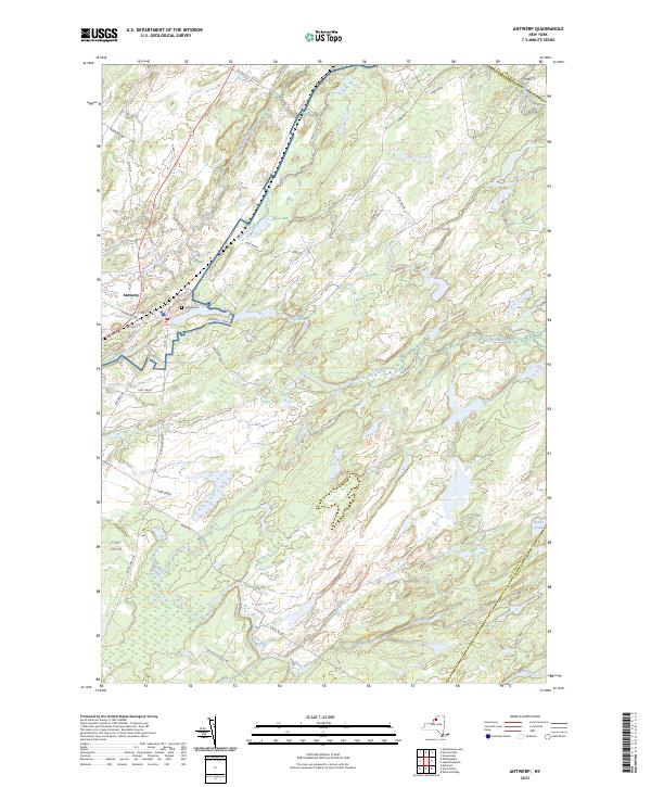
2023 Map of Antwerp
USGS Topo · Published 2023About this map
The village of Antwerp sits at the confluence of the Indian River and Hawkins Creek, serving as a focal point for this rural landscape in Jefferson County. The community's layout is defined by its core streets, including Main St, Mechanic St, and Washington St, which radiate from the river crossing. To the northeast, Hillside Cem and the former grounds of several town roads now border the expansive Fort Drum military reservation, which occupies a significant portion of the eastern and southern terrain. This intersection of civilian and military use is a defining characteristic of the area's modern geography.
Find a feature on this map
41 named features on this map. Tap any name to fly to it.
Don’t see what you’re looking for? This feature index may not catch every label — zoom into the map to look around manually.
Map Details
Editions of this 2023 Antwerp Map
This is the sole edition of this map. No revisions or reprints were ever made.
Other maps of this area

1911 · Antwerp
USGS Topo · 1:62,500

1912 · Hammond
USGS Topo · 1:62,500

1913 · Lake Bonaparte
USGS Topo · 1:62,500

1915 · Gouverneur
USGS Topo · 1:62,500

1916 · Lake Bonaparte
USGS Topo · 1:62,500

1937 · Gouverneur
USGS Topo · 1:62,500

1944 · Hammond
USGS Topo · 1:62,500

1948 · Ogdensburg
USGS Topo · 1:250,000

1949 · Hammond
USGS Topo · 1:62,500

1949 · Antwerp
USGS Topo · 1:62,500