Loading...
Loading map...2023 Map of Aragon
USGS Topo · Published 2023About this map
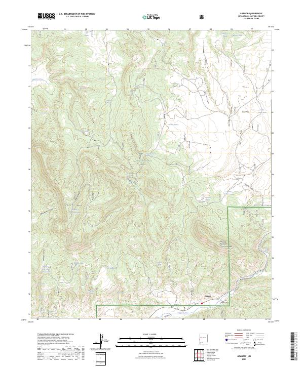
Aragon sits at the southern edge of this West Central New Mexico landscape, positioned where State Hwy 12 follows the path of the Tularosa River. The settlement is defined by its proximity to the high terrain of the Tularosa Mountains, with the Aragon Cem located just east of the village center. This area within the Apache National Forest is characterized by a complex network of canyons and high points, including Apache Mtn and the prominent Tularosa Mtn.
Find a feature on this map
48 named features on this map. Tap any name to fly to it.
Don’t see what you’re looking for? This feature index may not catch every label — zoom into the map to look around manually.
Map Details
Date Portrayed2023
Date Published2023
PublisherU.S. Geological Survey
Map TypeTopographic
Scale1:24000
Physical Dimensions24 x 29 inches
Editions of this 2023 Aragon Map
This is the sole edition of this map. No revisions or reprints were ever made.
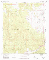
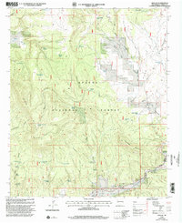
Historical Maps of Aragon Through Time
Featured Locations
Source Details
SourceU.S. Geological Survey
CopyrightPublic Domain