2021 Map of Arbela
USGS Topo · Published 2021About this map
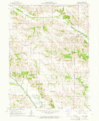
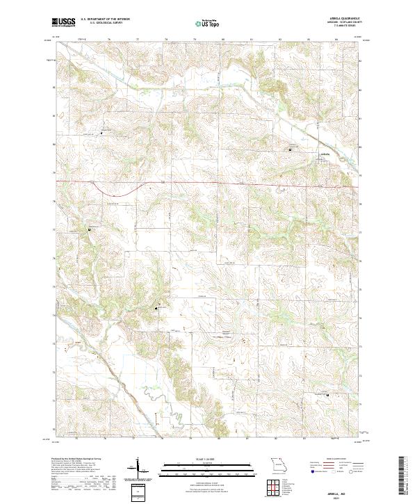
Arbela serves as the primary settlement hub in this section of Scotland County, situated just north of the Old Channel South Wyaconda River. The landscape is defined by the branching tributaries of the S Wyaconda River in the north and the North Fabius River in the southwest, creating a complex drainage pattern across the rural terrain. This geography heavily influenced the placement of early infrastructure, as evidenced by the distribution of several family and community burial sites such as Conyers Cem, Hickory Grove Cem, and Shacklett Cem.
Find a feature on this map
37 named features on this map. Tap any name to fly to it.
Don’t see what you’re looking for? This feature index may not catch every label — zoom into the map to look around manually.
Map Details
Editions of this 2021 Arbela Map
This is the sole edition of this map. No revisions or reprints were ever made.