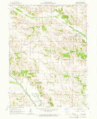
1965 Map of Arbela
USGS Topo · Published 1966About this map
The Chicago Burlington and Quincy railroad cuts a straight line through the northern half of Scotland County, anchoring the town of Arbela. This mid-1960s landscape is defined by the drainage basins of the South Wyaconda River and the North Fabius River, where the terrain transitions from flat upland rail corridors to the dissected stream valleys of Allen Creek and Bear Creek. The map provides a detailed view of the rural social fabric of the era, recording a high concentration of family and community landmarks such as Hickory Grove Ch, Union Cem, and Shacklett Cem. Significant mid-century infrastructure is evident in the presence of Wileys Air Strip and a local Drive-in Theater, reflecting the intersection of traditional agricultural township boundaries like Jefferson and Thomson with modern transportation and entertainment developments.
Find a feature on this map
21 named features on this map. Tap any name to fly to it.
Don’t see what you’re looking for? This feature index may not catch every label — zoom into the map to look around manually.
Map Details
Editions of this 1965 Arbela Map
This is the sole edition of this map. No revisions or reprints were ever made.
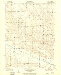
Other maps of this area

1903 · Kahoka
USGS Topo · 1:125,000

1903 · Edina
USGS Topo · 1:125,000
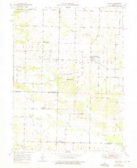
1950 · Colony
USGS Topo · 1:24,000
1951 · Colony
USGS Topo · 1:24,000
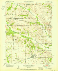
1951 · Wyaconda
USGS Topo · 1:24,000

1954 · Centerville
USGS Topo · 1:250,000

1957 · Centerville
USGS Topo · 1:250,000

1958 · Centerville
USGS Topo · 1:250,000

1958 · Burlington
USGS Topo · 1:250,000

1961 · Burlington
USGS Topo · 1:250,000