
1961 Map of Burlington
USGS Topo · Published 1961About this map
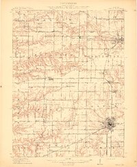
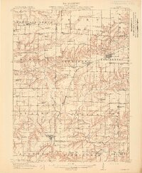
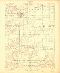
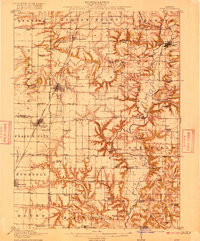
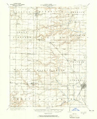
The Mississippi River serves as the central artery for this tri-state region, connecting the river towns of Burlington, Fort Madison, and Keokuk in Iowa with Dallas City and Warsaw in Illinois. The industrial and military footprint of the early Cold War era is evident at the sprawling Iowa Ordnance Plant located west of the river. To the east, the Illinois landscape is defined by a dense grid of agricultural towns and a robust transportation network including the Chicago Burlington and Quincy railroad and the Toledo Peoria and Western. Significant water features such as the Illinois River and Spoon River traverse the eastern half of the map, supporting natural areas like the Sanganois Conservation Area. This survey documents a critical junction of midwestern commerce and geography, where major tributaries like the Des Moines River and Skunk River converge with the Mississippi.
Find a feature on this map
66 named features on this map. Tap any name to fly to it.
Don’t see what you’re looking for? This feature index may not catch every label — zoom into the map to look around manually.
Map Details
Editions of this 1961 Burlington Map
This is the sole edition of this map. No revisions or reprints were ever made.
Other maps of this area

1903 · Kahoka
USGS Topo · 1:125,000

1903 · Palmyra
USGS Topo · 1:125,000

1903 · Edina
USGS Topo · 1:125,000

1909 · Tallula
USGS Topo · 1:62,500
1912 · Canton
USGS Topo · 1:62,500

1912 · Macomb
USGS Topo · 1:62,500
1913 · Colchester
USGS Topo · 1:62,500
1914 · Macomb
USGS Topo · 1:62,500
1915 · Avon
USGS Topo · 1:62,500
1916 · Good Hope
USGS Topo · 1:62,500