
Historical Maps of Henry County, Iowa
What stories do these 32 old maps tell about Henry County's past? From 1958 to present day, these maps reveal the evolution of streets, neighborhoods, iconic landmarks, and natural features in stunning high-res detail. Whether you're a history enthusiast, genealogist, or professional in education, environmental work, or architecture, these maps are perfect for exploration, research, and discovery.
Discover Henry County's history through maps:
- Trace Henry County's growth: Explore earlier and latest maps and editions to uncover how the region changed over time.
- Examine technical details: Each map includes its creators, publishers, scale, dimensions, and full source information.
- Layer maps with modern tools & imagery: Compare historical maps to modern-day with high-resolution satellite imagery and detailed LiDAR layers.
- Sourced from trusted archives: Carefully preserved and digitized by institutions like the United Stated Geological Survey and the US Library of Congress.
- Access in any format: View and explore in high resolution, download for offline use, or order a museum-quality print for yourself or a loved one.
Begin your journey into Henry County's history with these remarkable must-see maps.
Henry County, IA maps
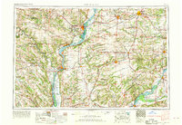
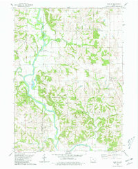
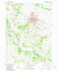
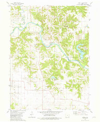
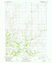
(32)- 1958 Map of Burlington, 1968 Print
 1958 Burlington1968 Print · USGSCovers Henry County, including Galesburg, Burlington, and other nearby areas
 - 1958 Map of Burlington, 1968 Print
 1958 Burlington1968 Print · USGSCovers Henry County, including Galesburg, Burlington, and other nearby areas
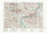
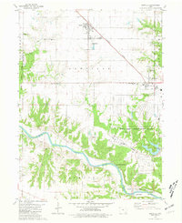
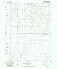
 - 1958 Map of Davenport, 1968 Print
 1958 Davenport1968 Print · USGSCovers Henry County, including Cedar Rapids, Davenport, and other nearby areas
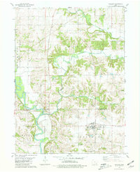
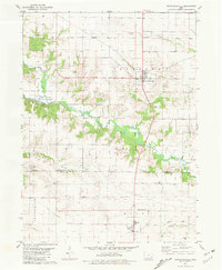
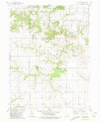
 - 1958 Map of Burlington, 1976 Print
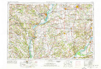 1958 Burlington1976 Print · USGSCovers Henry County, including Galesburg, Burlington, and other nearby areas
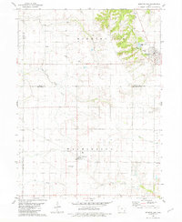
 - 1958 Map of Davenport, 1982 Print
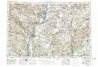
 1958 Davenport1982 Print · USGSCovers Henry County, including Cedar Rapids, Davenport, and other nearby areas
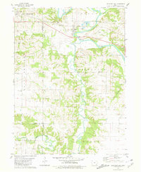
 - 1958 Map of Burlington, 1983 Print
 1958 Burlington1983 Print · USGSCovers Henry County, including Galesburg, Burlington, and other nearby areas
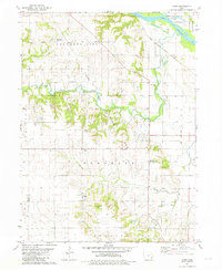
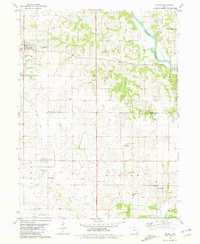
 - 1961 Map of Burlington
 1961 Burlington1961 Print · USGSCovers Henry County, including Galesburg, Burlington, and other nearby areas
 - 1961 Map of Davenport
 1961 Davenport1961 Print · USGSCovers Henry County, including Cedar Rapids, Davenport, and other nearby areas
 - 1962 Map of Davenport
 1962 Davenport1962 Print · USGSCovers Henry County, including Cedar Rapids, Davenport, and other nearby areas
 - 1963 Map of Burlington
 1963 Burlington1963 Print · USGSCovers Henry County, including Galesburg, Burlington, and other nearby areas
 - 1980 Map of Trenton, 1981 Print
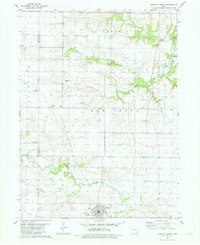
 1980 Trenton1981 Print · USGSCovers Henry County, including Merrimac, Trenton, and other nearby areas
 - 1980 Map of Wayland, 1981 Print
 1980 Wayland1981 Print · USGSCovers Henry County, including Wayland, Coppock, and other nearby areas
 - 1980 Map of Lockridge East, 1981 Print
 1980 Lockridge East1981 Print · USGSCovers Henry County, including Lockridge, Rome, and other nearby areas
 - 1981 Map of Cairo
 1981 Cairo1981 Print · USGSCovers Henry County, including Bard, Cairo, and other nearby areas
 - 1981 Map of Mount Pleasant
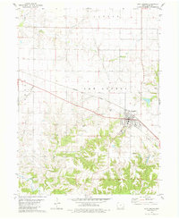
 1981 Mount Pleasant1981 Print · USGSCovers Henry County, including Mount Pleasant, Westwood, and other nearby areas
 - 1981 Map of Danville
 1981 Danville1981 Print · USGSCovers Henry County, including Danville, Middletown, and other nearby areas
 - 1981 Map of Crawfordsville
 1981 Crawfordsville1981 Print · USGSCovers Henry County, including Crawfordsville, Olds, and other nearby areas
 - 1981 Map of Morning Sun
 1981 Morning Sun1981 Print · USGSCovers Henry County, including Morning Sun, Roscoe, and other nearby areas
 - 1981 Map of Lowell
 1981 Lowell1981 Print · USGSCovers Henry County, including Lowell, Des Moines County, and other nearby areas
 - 1981 Map of Salem
 1981 Salem1981 Print · USGSCovers Henry County, including Salem, Houghton, and other nearby areas
 - 1981 Map of Winfield North
 1981 Winfield North1981 Print · USGSCovers Henry County, including Winfield, Wyman, and other nearby areas
 - 1981 Map of New London
 1981 New London1981 Print · USGSCovers Henry County, including New London, United States, and other nearby areas
 - 1981 Map of Swedesburg
 1981 Swedesburg1981 Print · USGSCovers Henry County, including Swedesburg, United States, and other nearby areas
 - 1981 Map of Winfield South
 1981 Winfield South1981 Print · USGSCovers Henry County, including Winfield, Mount Union, and other nearby areas
 - 1981 Map of Hillsboro
 1981 Hillsboro1981 Print · USGSCovers Henry County, including Salem, Hillsboro, and other nearby areas
Showing maps 1-25 of 32
Top cities in Henry County
- Mount Pleasant historical maps
- New London historical maps
- Winfield historical maps
- Wayland historical maps
- Salem historical maps
- Olds historical maps
See more
Frequently asked questions
- What are the different types of historical maps available for Henry County?
- What is the oldest map of Henry County?
- Where can I purchase historical maps of Henry County for my home or office?
- Where can I download high-res historical maps of Henry County?
- Are there historical topographic maps available for Henry County?
- Is there historical aerial imagery available for Henry County?
- Where are historical maps of Henry County sourced from?