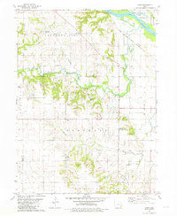
1981 Map of Cairo
USGS Topo · Published 1981About this map
Long Creek and its many tributaries, including Johnny Creek and Otter Creek, dominate this section of Louisa County. The rural landscape is defined by its small crossroads settlements and community hubs, such as Cairo and the Otter Creek Community Center. This 1981 edition, based on earlier field checks, documents a transition in local land use where traditional farming intersects with industrial development, notably the Cairo Gas Storage Field and a nearby Quarry.
Find a feature on this map
26 named features on this map. Tap any name to fly to it.
Don’t see what you’re looking for? This feature index may not catch every label — zoom into the map to look around manually.
Map Details
Editions of this 1981 Cairo Map
This is the sole edition of this map. No revisions or reprints were ever made.
Other maps of this area

1946 · Wapello
USGS Topo · 1:62,500

1948 · Muscatine
USGS Topo · 1:62,500

1949 · Wapello
USGS Topo · 1:62,500

1958 · Davenport
USGS Topo · 1:250,000

1961 · Davenport
USGS Topo · 1:250,000

1962 · Davenport
USGS Topo · 1:250,000
1965 · Mediapolis
USGS Topo · 1:24,000

1965 · Letts
USGS Topo · 1:24,000
1965 · Wapello
USGS Topo · 1:24,000

1970 · Cotter
USGS Topo · 1:24,000