Loading...
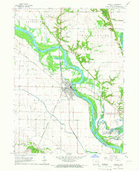
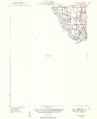
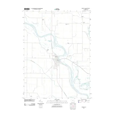
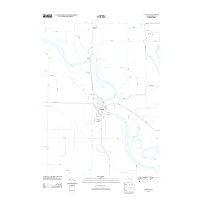
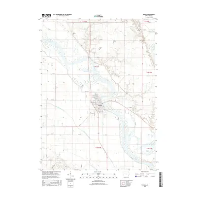
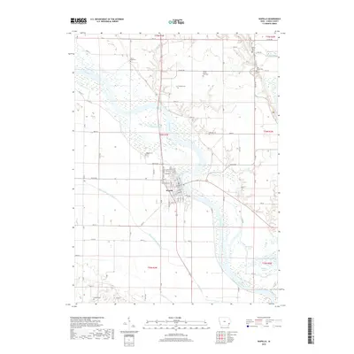
Loading map...1965 Map of Wapello
USGS Topo · Published 1967About this map
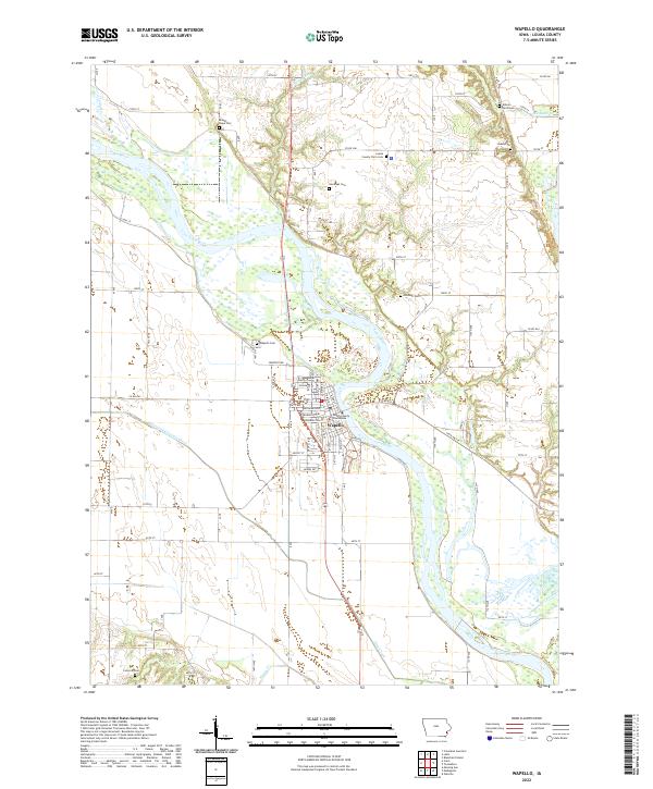
Wapello serves as the focal point of this mid-1960s study, situated along the banks of the Iowa River. The landscape is a complex network of wetlands and oxbow lakes, including Muskrat Lake, Klum Lake, and Goose Lake, reflecting the dynamic nature of the river valley. To the east, the Mark Twain National Wildlife Refuge and Klum Lake State Game Management Area protect the bottomlands.
Find a feature on this map
34 named features on this map. Tap any name to fly to it.
Don’t see what you’re looking for? This feature index may not catch every label — zoom into the map to look around manually.
Map Details
Date Portrayed1965
Date Published1967
PublisherU.S. Geological Survey
Map TypeTopographic
Scale1:24,000
Physical Dimensions22 x 27 inches
Editions of this 1965 Wapello Map
This is the sole edition of this map. No revisions or reprints were ever made.
Historical Maps of Wapello Through Time
8 maps found

Featured Locations
Source Details
SourceU.S. Geological Survey
CopyrightPublic Domain