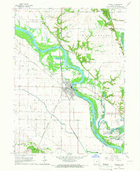
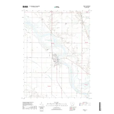
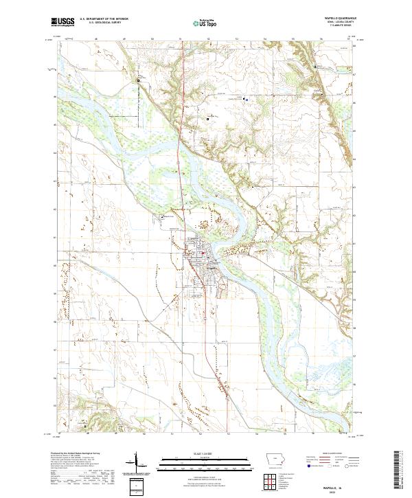
1949 Map of Wapello
USGS Topo · Published 1949About this map
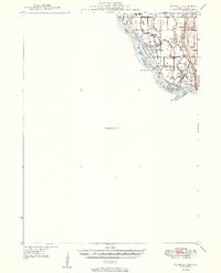
The Mississippi River creates a complex network of islands and sloughs along the border of Iowa and Illinois, anchored by the riverfront settlement of New Boston. This 1940s landscape is defined by the managed flow of the river, featuring Lock and Dam No 17 and a series of large islands including Otter Island, Keg Island, and Jonas Johnson Island. The convergence of the Iowa River and Edwards River with the Mississippi reveals a highly articulated riparian environment where drainage and navigation were primary concerns, evidenced by the Pumping Station and several levees.
Find a feature on this map
34 named features on this map. Tap any name to fly to it.
Don’t see what you’re looking for? This feature index may not catch every label — zoom into the map to look around manually.
Map Details
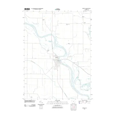
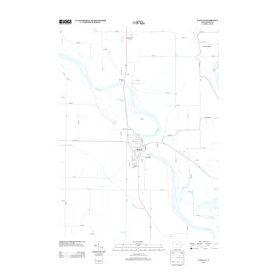
Editions of this 1949 Wapello Map
2 editions found
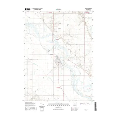
Historical Maps of Wapello Through Time
8 maps found