
1980 Map of Wayland
USGS Topo · Published 1981About this map
The Skunk River and its meandering tributaries dominate this section of Southeast Iowa where the borders of Washington, Jefferson, and Henry counties converge. The small settlement of Wayland serves as a primary hub on the eastern edge, while the village of Coppock sits at a strategic crossing where the river meets Walnut Creek. The landscape transition from flat agricultural tablelands to the more dissected terrain around Sockum Ridge is clearly visible through the density of topographic contours.
Find a feature on this map
34 named features on this map. Tap any name to fly to it.
Don’t see what you’re looking for? This feature index may not catch every label — zoom into the map to look around manually.
Map Details
Editions of this 1980 Wayland Map
This is the sole edition of this map. No revisions or reprints were ever made.
Other maps of this area

1958 · Davenport
USGS Topo · 1:250,000

1961 · Davenport
USGS Topo · 1:250,000

1962 · Davenport
USGS Topo · 1:250,000

1969 · Washington
USGS Topo · 1:24,000

1970 · Ainsworth
USGS Topo · 1:24,000

1973 · West Chester
USGS Topo · 1:24,000

1980 · Brighton
USGS Topo · 1:24,000

1980 · Trenton
USGS Topo · 1:24,000
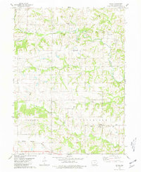
1980 · Salina
USGS Topo · 1:24,000
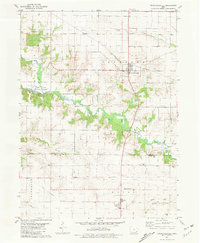
1981 · Crawfordsville
USGS Topo · 1:24,000