
1981 Map of Mount Pleasant
USGS Topo · Published 1981About this map
Mount Pleasant serves as a significant regional hub in this early 1980s record, anchored by the campus of Iowa Wesleyan College and the extensive grounds of the Iowa Mental Health Institute. The town's layout reflects a classic Midwestern grid, integrated with the Burlington Northern railroad corridor and the nearby Mount Pleasant Municipal Airport. A unique cultural landmark, the Midwest Old Settlers and Threshers Park, sits on the southern edge of town, preserving the agricultural heritage of Henry County.
Find a feature on this map
54 named features on this map. Tap any name to fly to it.
Don’t see what you’re looking for? This feature index may not catch every label — zoom into the map to look around manually.
Map Details
Editions of this 1981 Mount Pleasant Map
This is the sole edition of this map. No revisions or reprints were ever made.
Other maps of this area

1958 · Burlington
USGS Topo · 1:250,000

1958 · Davenport
USGS Topo · 1:250,000

1961 · Burlington
USGS Topo · 1:250,000

1961 · Davenport
USGS Topo · 1:250,000

1962 · Davenport
USGS Topo · 1:250,000

1963 · Burlington
USGS Topo · 1:250,000

1980 · Trenton
USGS Topo · 1:24,000

1980 · Lockridge East
USGS Topo · 1:24,000
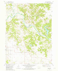
1981 · Lowell
USGS Topo · 1:24,000
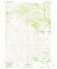
1981 · Salem
USGS Topo · 1:24,000