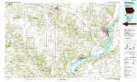
1985 Map of Burlington
USGS Topo · Published 1989About this map
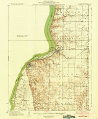
The Mississippi River and the Skunk River converge in this mid-1980s landscape, shaping a region defined by industrial hubs and conservation areas. The massive Iowa Army Ammunition Plant stands as a significant landmark between Middletown and Burlington, illustrating the heavy industrial footprint on the Des Moines County landscape during this era. Further south, the map details the intricate waterways of The Swamps, Shokokon Slough, and O'Connell Slough near Fort Madison Municipal Airport, revealing the complex hydrology of the river bottomlands.
Find a feature on this map
187 named features on this map. Tap any name to fly to it.
Don’t see what you’re looking for? This feature index may not catch every label — zoom into the map to look around manually.
Map Details
Editions of this 1985 Burlington Map
2 editions found

Other maps of this area

1903 · Kahoka
USGS Topo · 1:125,000

1903 · Edina
USGS Topo · 1:125,000
1913 · Colchester
USGS Topo · 1:62,500
1918 · La Harpe
USGS Topo · 1:62,500
1932 · Lomax
USGS Topo · 1:62,500
1933 · Carthage
USGS Topo · 1:62,500
1934 · Oquawka
USGS Topo · 1:48,000

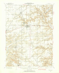
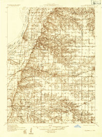
1934 · Burlington
USGS Topo · 1:48,000

1935 · Keithsburg
USGS Topo · 1:48,000
1936 · Keokuk
USGS Topo · 1:62,500