Old Maps of Burlington, Iowa
Explore 19 old maps of Burlington, spanning from 1934 to today. These high-resolution historic maps reveal how streets, neighborhoods, landmarks, and natural features evolved over time — perfect for genealogy, metal detecting, research, and local history exploration.
What you can do with these maps:
- See how Burlington changed over time: Compare historical maps to modern-day views to trace roads, homesites, rail lines & more.
- View detailed metadata: Each map includes creators, publishers, year, scale, and archive source.
- Overlay maps with satellite & LiDAR: Visualize the past alongside modern tools to explore terrain & human change.
- Trusted historical sources: Maps sourced from the USGS, Library of Congress, and other archives.
- Access maps your way: View online, download high-res files, or order prints for personal or research use.
Start exploring old maps of Burlington to uncover forgotten places, hidden landmarks, and the deep history beneath your feet.
Burlington, IA maps
(19)- 1934 Map of Burlington
 1934 Burlington1934 Print · USGSThe river bottomlands of Illinois and Iowa come alive in the mid-1930s, showing a landscape defined by the shifting currents and rail lines. Genealogists and historians can trace small rural communities and local education centers like Orchard City, Carthage Junc, and Crystal Lake Sch.2 unique versions available
 - 1940 Map of Burlington
 1940 Burlington1940 Print · USGSThe Mississippi River floodplain comes alive in the mid-1930s, showing the intricate network of sloughs and rail lines between Illinois and Iowa. Genealogists and historians can locate rural landmarks like Merry Dell Sch, trace the Chicago Burlington and Quincy tracks, or explore the riverfront at Gulfport.3 unique versions available
 - 1958 Map of Burlington, 1968 Print
 1958 Burlington1968 Print · USGSThe tri-state river country of Iowa, Illinois, and Missouri is captured here in the mid-fifties, dominated by the Mississippi River and major rail lines. Genealogists and historians can trace the development of river towns like Keokuk or locate the sprawling Iowa Army Ammunition Plant.4 unique versions available
 - 1961 Map of Burlington
 1961 Burlington1961 Print · USGSThe tri-state borderlands along the Mississippi River are captured here during the late fifties and early sixties, showing the vital river-and-rail economy of Iowa, Illinois, and Missouri. Genealogists and historians can trace the development of major hubs like Galesburg and Macomb alongside landmark sites such as the Iowa Ordnance Plant and the historic river town of Nauvoo.
 - 1963 Map of Burlington
 1963 Burlington1963 Print · USGSThe tri-state river country of the Mississippi and Illinois valleys comes alive in this mid-century survey. Genealogists and historians can trace the industrial and academic growth of the region, from the Iowa Ordnance Plant to campuses like Knox College and Western Illinois University.
 - 1964 Map of Burlington, 1965 Print
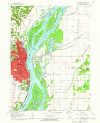 1964 Burlington1965 Print · USGSMid-century Burlington and the Mississippi riverfront are captured here as the city expanded westward toward the Burlington Municipal Airport. Genealogists can locate family landmarks like Sacred Heart Cemetery, St Johns School, and the scattered homes of Heapsville.3 unique versions available
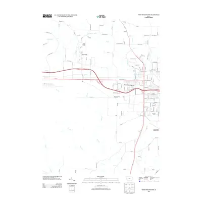
 - 1964 Map of West Burlington, 1965 Print
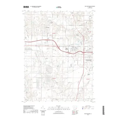
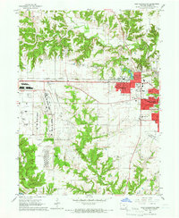 1964 West Burlington1965 Print · USGSDes Moines County reveals its mid-century industrial and suburban character as the Cold War era reshaped the landscape. Trace the massive Iowa Army Ammunition Plant, the tracks of the Chicago Burlington and Quincy, and landmarks like Burk Chapel.2 unique versions available
 - 1985 Map of Burlington
 1985 Burlington1985 Print · USGSThe Tri-State region during the mid-eighties shows a landscape shaped by the Mississippi River and a dense network of railroads. Genealogists and local historians can trace family sites near Aspen Grove Cem or locate community landmarks in Burlington, Fort Madison, and Mount Pleasant.2 unique versions available
 - 1990 Map of Burlington
 1990 Burlington1990 Print · USGSThe tri-state confluence of Iowa, Illinois, and Missouri is mapped here at the end of the twentieth century. Genealogists and historians can trace the riverfront heritage of Burlington, Keokuk, and Fort Madison, or locate sites like the Battle of Athens State Historic Site.2 unique versions available
 - 2010 Map of West Burlington, 2010 Print
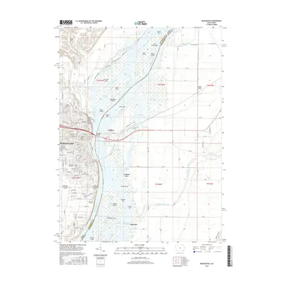
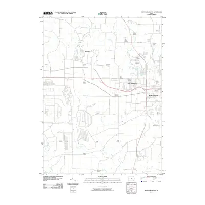 2010 West Burlington2010 Print · USGSCovers Burlington, including West Burlington, Beaverdale, and other nearby areas
 - 2010 Map of Burlington, 2010 Print
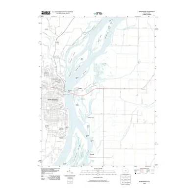 2010 Burlington2010 Print · USGSCovers Burlington, including Carthage Lake, Heapsville, and other nearby areas
 - 2013 Map of West Burlington, 2013 Print
 2013 West Burlington2013 Print · USGSCovers Burlington, including West Burlington, Beaverdale, and other nearby areas
 - 2013 Map of Burlington, 2013 Print
 2013 Burlington2013 Print · USGSCovers Burlington, including Carthage Lake, Heapsville, and other nearby areas
 - 2015 Map of West Burlington, 2015 Print
 2015 West Burlington2015 Print · USGSCovers Burlington, including West Burlington, Beaverdale, and other nearby areas
 - 2015 Map of Burlington, 2015 Print
 2015 Burlington2015 Print · USGSCovers Burlington, including Carthage Lake, Heapsville, and other nearby areas
 - 2018 Map of West Burlington, 2018 Print
 2018 West Burlington2018 Print · USGSCovers Burlington, including West Burlington, Beaverdale, and other nearby areas
 - 2018 Map of Burlington, 2018 Print
 2018 Burlington2018 Print · USGSCovers Burlington, including Carthage Lake, Heapsville, and other nearby areas
 - 2022 Map of Burlington, 2022 Print
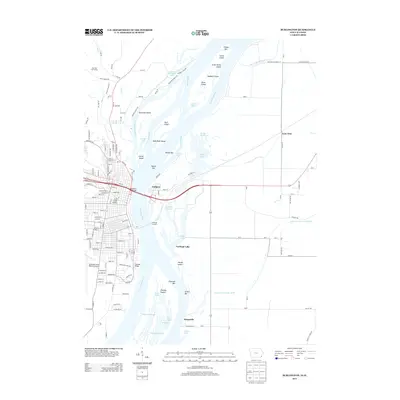
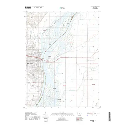
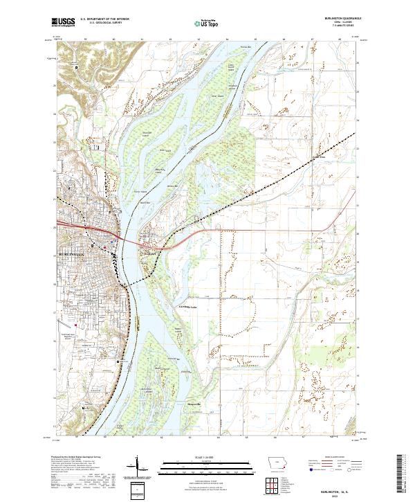 2022 Burlington2022 Print · USGSBurlington and the Mississippi River islands are captured in this modern survey of the Iowa-Illinois border. Genealogists can locate family burial sites at the Meyers Family Plot and Aspen Grove Cem, or trace the winding O'Connell Slough.
 - 2022 Map of West Burlington, 2022 Print
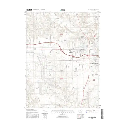
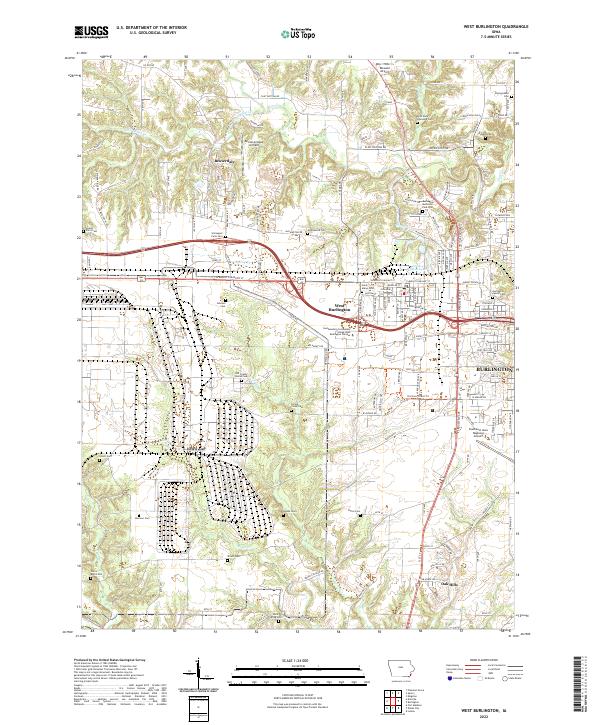 2022 West Burlington2022 Print · USGSDes Moines County enters the third decade of the twenty-first century as a mix of suburban growth and deeply rooted pioneer history. Researchers can trace family sites at the Old County Home Cemetery or explore aviation landmarks like Ancam Antique Airfield and the Southeast Iowa Regional Airport.
End of results
Showing maps 1-19 of 19
Top cities near Burlington
- Fort Madison historical maps
- West Burlington historical maps
- Mediapolis historical maps
- Oquawka historical maps
- La Harpe historical maps
- Dallas City historical maps
See more
Frequently asked questions
- What are the different types of historical maps available for Burlington?
- What is the oldest map of Burlington?
- Where can I purchase historical maps of Burlington for my home or office?
- Where can I download high-res historical maps of Burlington?
- Are there historical topographic maps available for Burlington?
- Is there historical aerial imagery available for Burlington?
- Where are historical maps of Burlington sourced from?