Old Maps of Fort Madison, Iowa
Explore 32 old maps of Fort Madison, spanning from 1936 to today. These high-resolution historic maps reveal how streets, neighborhoods, landmarks, and natural features evolved over time — perfect for genealogy, metal detecting, research, and local history exploration.
What you can do with these maps:
- See how Fort Madison changed over time: Compare historical maps to modern-day views to trace roads, homesites, rail lines & more.
- View detailed metadata: Each map includes creators, publishers, year, scale, and archive source.
- Overlay maps with satellite & LiDAR: Visualize the past alongside modern tools to explore terrain & human change.
- Trusted historical sources: Maps sourced from the USGS, Library of Congress, and other archives.
- Access maps your way: View online, download high-res files, or order prints for personal or research use.
Start exploring old maps of Fort Madison to uncover forgotten places, hidden landmarks, and the deep history beneath your feet.
Fort Madison, IA maps
(32)- 1936 Map of Fort Madison
 1936 Fort Madison1936 Print · USGSThe Illinois shore of the Mississippi River is captured here in the mid-1930s, featuring the historic street grid of Nauvoo. Genealogists and local historians can trace a dense network of rural landmarks, including Jackson Cem and numerous country schoolhouses like Maple Grove Sch and Elliott Sch.3 unique versions available
 - 1958 Map of Burlington, 1968 Print
 1958 Burlington1968 Print · USGSThe tri-state river country of Iowa, Illinois, and Missouri is captured here in the mid-fifties, dominated by the Mississippi River and major rail lines. Genealogists and historians can trace the development of river towns like Keokuk or locate the sprawling Iowa Army Ammunition Plant.4 unique versions available
 - 1961 Map of Burlington
 1961 Burlington1961 Print · USGSThe tri-state borderlands along the Mississippi River are captured here during the late fifties and early sixties, showing the vital river-and-rail economy of Iowa, Illinois, and Missouri. Genealogists and historians can trace the development of major hubs like Galesburg and Macomb alongside landmark sites such as the Iowa Ordnance Plant and the historic river town of Nauvoo.
 - 1963 Map of Burlington
 1963 Burlington1963 Print · USGSThe tri-state river country of the Mississippi and Illinois valleys comes alive in this mid-century survey. Genealogists and historians can trace the industrial and academic growth of the region, from the Iowa Ordnance Plant to campuses like Knox College and Western Illinois University.
 - 1964 Map of Nauvoo, 1965 Print
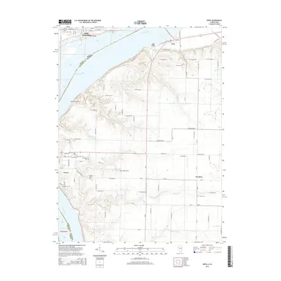
 1964 Nauvoo1965 Print · USGSThe Mississippi River valley comes alive in the mid-sixties, showing the rail-linked communities of Nauvoo, Illinois, and Montrose, Iowa. Researchers can trace the Indian Treaty Boundary and locate local landmarks like Dundey Cemetery and Inspiration Point.2 unique versions available
 - 1964 Map of West Point, 1965 Print
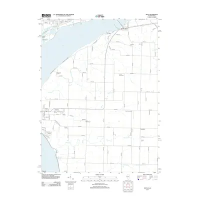
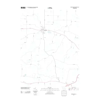
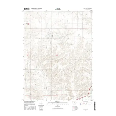
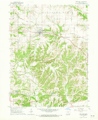 1964 West Point1965 Print · USGSWest Point and the surrounding Lee County countryside are captured here in the mid-1960s, showing a well-established rail and agricultural community. Genealogists can locate several historic burial sites like St Peters Cem and Graner Cem while tracing the path of the Chicago Burlington and Quincy railroad.2 unique versions available
 - 1964 Map of Niota, 1965 Print
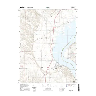
 1964 Niota1965 Print · USGSThe Mississippi River corridor in the mid-1960s shows a landscape defined by major rail lines and historical riverfront towns. Genealogists can locate family names at Pioneer Saints Cem, Appanoose Cem, or the rural crossroads of Powellton.2 unique versions available
 - 1964 Map of Fort Madison, 1965 Print
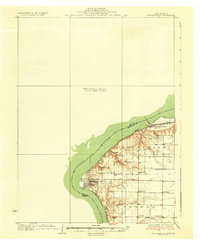
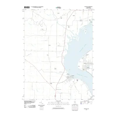
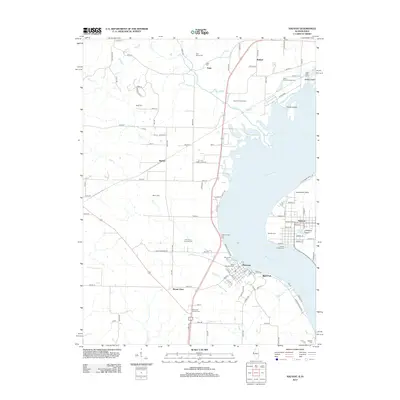
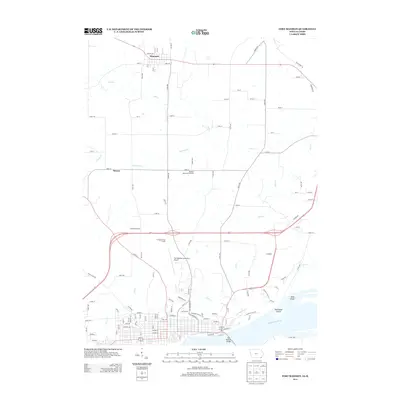
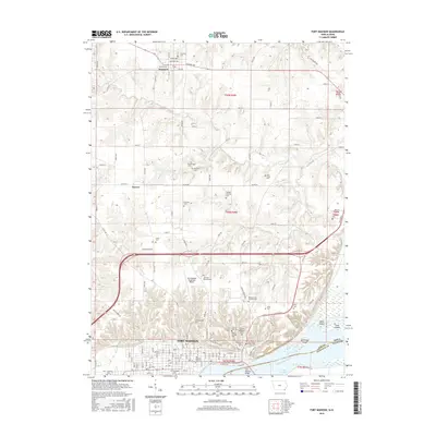
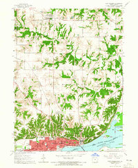 1964 Fort Madison1965 Print · USGSFort Madison and the Mississippi River waterfront are captured in the mid-1960s before modern expansion. Genealogists can trace family locations through numerous landmarks, including Claypoole Cem, the State Penitentiary, and several local parochial schools.2 unique versions available
 - 1985 Map of Burlington
 1985 Burlington1985 Print · USGSThe Tri-State region during the mid-eighties shows a landscape shaped by the Mississippi River and a dense network of railroads. Genealogists and local historians can trace family sites near Aspen Grove Cem or locate community landmarks in Burlington, Fort Madison, and Mount Pleasant.2 unique versions available
 - 1990 Map of Burlington
 1990 Burlington1990 Print · USGSThe tri-state confluence of Iowa, Illinois, and Missouri is mapped here at the end of the twentieth century. Genealogists and historians can trace the riverfront heritage of Burlington, Keokuk, and Fort Madison, or locate sites like the Battle of Athens State Historic Site.2 unique versions available
 - 2010 Map of West Point, 2010 Print
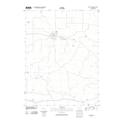 2010 West Point2010 Print · USGSCovers Fort Madison, including West Point, Lee County, and other nearby areas
 - 2010 Map of Niota, 2010 Print
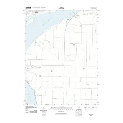 2010 Niota2010 Print · USGSCovers Fort Madison, including Nauvoo, Old Niota, and other nearby areas
 - 2010 Map of Fort Madison, 2010 Print
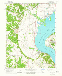
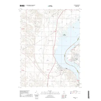
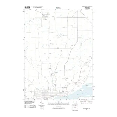 2010 Fort Madison2010 Print · USGSCovers Fort Madison, including Denmark, Sawyer, and other nearby areas
 - 2010 Map of Nauvoo, 2010 Print
 2010 Nauvoo2010 Print · USGSCovers Fort Madison, including Nauvoo, Montrose, and other nearby areas
 - 2012 Map of Nauvoo, 2012 Print
 2012 Nauvoo2012 Print · USGSCovers Fort Madison, including Nauvoo, Montrose, and other nearby areas
 - 2012 Map of Niota, 2012 Print
 2012 Niota2012 Print · USGSCovers Fort Madison, including Nauvoo, Old Niota, and other nearby areas
 - 2013 Map of West Point, 2013 Print
 2013 West Point2013 Print · USGSCovers Fort Madison, including West Point, Lee County, and other nearby areas
 - 2013 Map of Fort Madison, 2013 Print
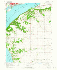
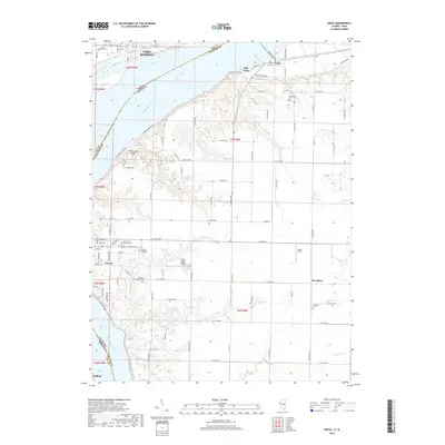
 2013 Fort Madison2013 Print · USGSCovers Fort Madison, including Denmark, Sawyer, and other nearby areas
 - 2015 Map of Niota, 2015 Print
 2015 Niota2015 Print · USGSCovers Fort Madison, including Nauvoo, Old Niota, and other nearby areas
 - 2015 Map of Nauvoo, 2015 Print
 2015 Nauvoo2015 Print · USGSCovers Fort Madison, including Nauvoo, Montrose, and other nearby areas
 - 2015 Map of West Point, 2015 Print
 2015 West Point2015 Print · USGSCovers Fort Madison, including West Point, Lee County, and other nearby areas
 - 2015 Map of Fort Madison, 2015 Print
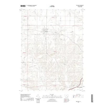
 2015 Fort Madison2015 Print · USGSCovers Fort Madison, including Denmark, Sawyer, and other nearby areas
 - 2018 Map of Nauvoo, 2018 Print
 2018 Nauvoo2018 Print · USGSCovers Fort Madison, including Nauvoo, Montrose, and other nearby areas
 - 2018 Map of Niota, 2018 Print
 2018 Niota2018 Print · USGSCovers Fort Madison, including Nauvoo, Old Niota, and other nearby areas
 - 2018 Map of West Point, 2018 Print
 2018 West Point2018 Print · USGSCovers Fort Madison, including West Point, Lee County, and other nearby areas
Showing maps 1-25 of 32
Top cities near Fort Madison
- Burlington historical maps
- Keokuk historical maps
- West Burlington historical maps
- Hamilton historical maps
- Carthage historical maps
- Nauvoo historical maps
See more
Frequently asked questions
- What are the different types of historical maps available for Fort Madison?
- What is the oldest map of Fort Madison?
- Where can I purchase historical maps of Fort Madison for my home or office?
- Where can I download high-res historical maps of Fort Madison?
- Are there historical topographic maps available for Fort Madison?
- Is there historical aerial imagery available for Fort Madison?
- Where are historical maps of Fort Madison sourced from?