2000s (21st Century) Maps of Burlington, Iowa
Explore 10 historic maps of Burlington from the 2000s (21st Century). These maps offer a rare glimpse into what life looked like during the 2000s — showing old roads, neighborhoods, homes, and landmarks that have changed or disappeared over time.
Whether you're researching your family's past, planning a metal detecting trip, or studying how Burlington's landscape evolved across the 2000s, these high-resolution maps are a powerful tool for exploring the history of this region.
- Focus on a specific era: All maps on this page are from the 2000s, giving you a focused view of this time period.
- See what’s changed: Compare century-old streets, trails, and buildings to today's modern landscape using overlays and satellite layers.
- Research with precision: Use these maps for genealogy, historical research, land use analysis, or educational projects.
- View, download, or print: Maps are fully viewable online in high resolution, and can be downloaded or printed for your own records.
Start exploring Burlington's history through authentic maps from the 2000s. This is your window into the past.
Burlington, IA maps
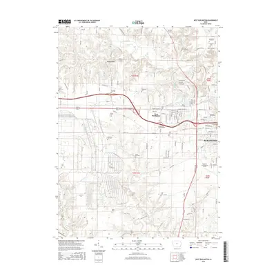
(10)- 2010 Map of West Burlington, 2010 Print
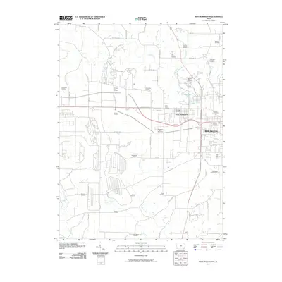 2010 West Burlington2010 Print · USGSCovers Burlington, including West Burlington, Beaverdale, and other nearby areas
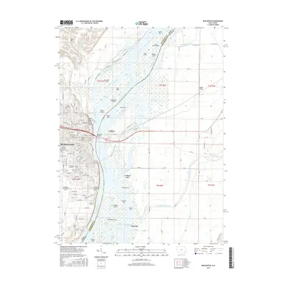
 - 2010 Map of Burlington, 2010 Print
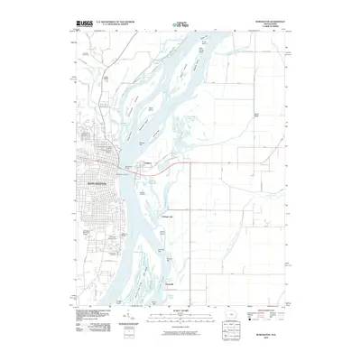 2010 Burlington2010 Print · USGSCovers Burlington, including Carthage Lake, Heapsville, and other nearby areas
 - 2013 Map of West Burlington, 2013 Print
 2013 West Burlington2013 Print · USGSCovers Burlington, including West Burlington, Beaverdale, and other nearby areas
 - 2013 Map of Burlington, 2013 Print
 2013 Burlington2013 Print · USGSCovers Burlington, including Carthage Lake, Heapsville, and other nearby areas
 - 2015 Map of West Burlington, 2015 Print
 2015 West Burlington2015 Print · USGSCovers Burlington, including West Burlington, Beaverdale, and other nearby areas
 - 2015 Map of Burlington, 2015 Print
 2015 Burlington2015 Print · USGSCovers Burlington, including Carthage Lake, Heapsville, and other nearby areas
 - 2018 Map of West Burlington, 2018 Print
 2018 West Burlington2018 Print · USGSCovers Burlington, including West Burlington, Beaverdale, and other nearby areas
 - 2018 Map of Burlington, 2018 Print
 2018 Burlington2018 Print · USGSCovers Burlington, including Carthage Lake, Heapsville, and other nearby areas
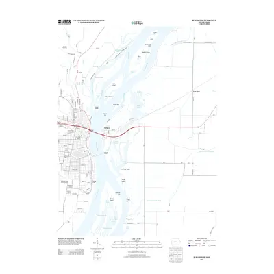
 - 2022 Map of Burlington, 2022 Print
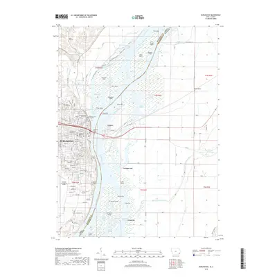
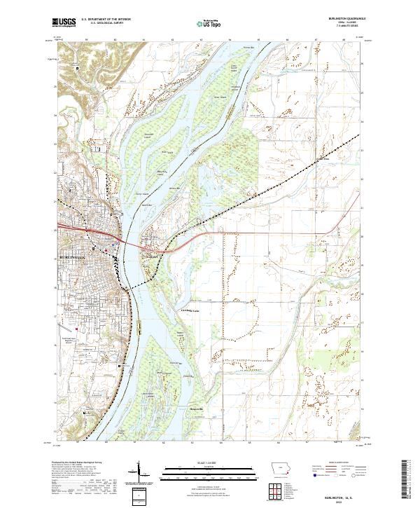 2022 Burlington2022 Print · USGSBurlington and the Mississippi River islands are captured in this modern survey of the Iowa-Illinois border. Genealogists can locate family burial sites at the Meyers Family Plot and Aspen Grove Cem, or trace the winding O'Connell Slough.
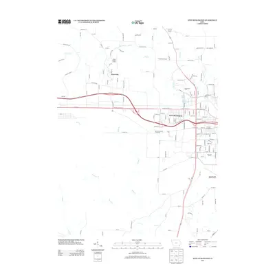
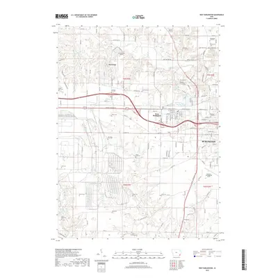
 - 2022 Map of West Burlington, 2022 Print
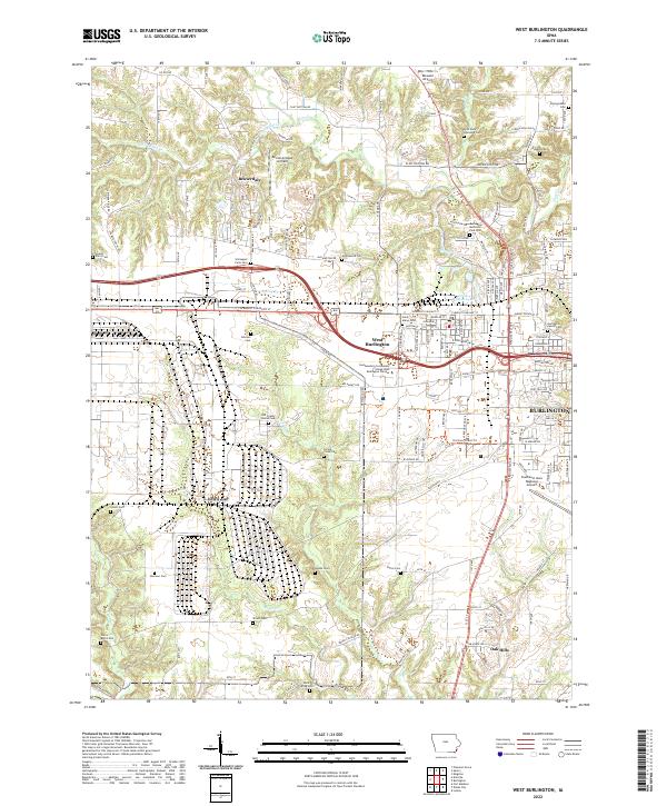 2022 West Burlington2022 Print · USGSDes Moines County enters the third decade of the twenty-first century as a mix of suburban growth and deeply rooted pioneer history. Researchers can trace family sites at the Old County Home Cemetery or explore aviation landmarks like Ancam Antique Airfield and the Southeast Iowa Regional Airport.
End of results
Showing maps 1-10 of 10
Top cities near Burlington
- Fort Madison historical maps
- West Burlington historical maps
- Mediapolis historical maps
- Oquawka historical maps
- La Harpe historical maps
- Dallas City historical maps
See more
Frequently asked questions
- What are the different types of historical maps available for Burlington?
- What is the oldest map of Burlington?
- Where can I purchase historical maps of Burlington for my home or office?
- Where can I download high-res historical maps of Burlington?
- Are there historical topographic maps available for Burlington?
- Is there historical aerial imagery available for Burlington?
- Where are historical maps of Burlington sourced from?