Loading...
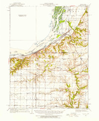
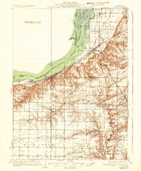
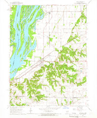
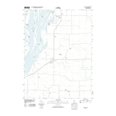
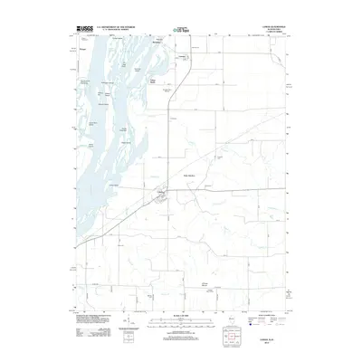
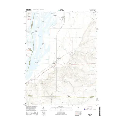
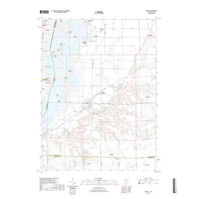
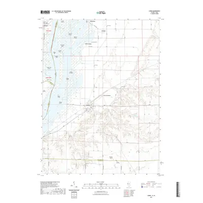
Loading map...1932 Map of Lomax
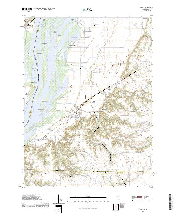
USGS Topo · Published 1957About this map
The Mississippi River defines the western edge of this 1930s landscape, featuring prominent riverine landmarks like Clifford Island and Willow Bar. Inland, the convergence of major rail lines, including the Chicago Burlington and Quincy and the Atchison Topeka and Santa Fe, drives the development of towns like Lomax and Dallas City. The map reveals a dense network of rural infrastructure, with numerous family-named schools and churches serving small farming communities.
Find a feature on this map
81 named features on this map. Tap any name to fly to it.
Don’t see what you’re looking for? This feature index may not catch every label — zoom into the map to look around manually.
Map Details
Date Portrayed1932
Date Published1957
PublisherU.S. Geological Survey
Map TypeTopographic
Scale1:62,500
Physical Dimensions16.9 x 20.8 inches
Editions of this 1932 Lomax Map
This is the sole edition of this map. No revisions or reprints were ever made.
Historical Maps of Dallas City Through Time
9 maps found
Featured Locations
Source Details
SourceU.S. Geological Survey
CopyrightPublic Domain