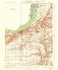
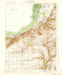
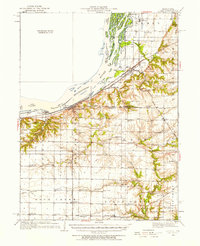
1937 Map of Lomax
USGS Topo · Published 1937About this map
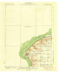
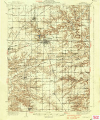
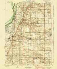
The Mississippi River floodplain dominates the northwestern corner of this area, where islands like Clifford Island and Willow Bar shift alongside backwaters such as Vaughn Lake and Millman Lake. This 1930s survey reveals a dense network of rural infrastructure in the Illinois interior, particularly the concentration of country schools including the unusually named Froggie School, Alma Mater School, and Shake Rag School. Settlement patterns are closely tied to the era's rail corridors, with Lomax serving as a significant junction where the Chicago Burlington and Quincy meets the Atchison Topeka and Santa Fe. The landscape transitions from the river bottomlands up toward prominent terrain features like Gittings Mound, with small communities such as Disco, Carman, and Dallas City anchoring the agricultural and transport-based economy of the region.
Find a feature on this map
76 named features on this map. Tap any name to fly to it.
Don’t see what you’re looking for? This feature index may not catch every label — zoom into the map to look around manually.
Map Details
Editions of this 1937 Lomax Map
2 editions found
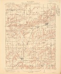
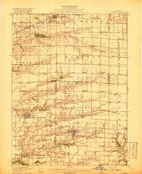
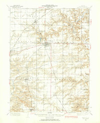
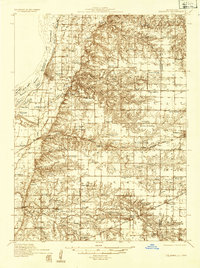
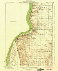
Other maps of this area
1913 · Colchester
USGS Topo · 1:62,500
1918 · La Harpe
USGS Topo · 1:62,500
1932 · Lomax
USGS Topo · 1:62,500
1933 · Carthage
USGS Topo · 1:62,500
1934 · Oquawka
USGS Topo · 1:48,000

1934 · Burlington
USGS Topo · 1:48,000
1936 · Keokuk
USGS Topo · 1:62,500
1936 · Fort Madison
USGS Topo · 1:62,500
1937 · Carthage
USGS Topo · 1:62,500
1940 · Oquawka
USGS Topo · 1:62,500