
1913 Map of Colchester
USGS Topo · Published 1913About this map
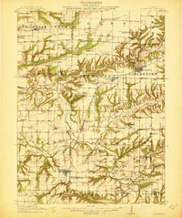
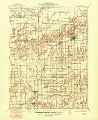
Colchester serves as the industrial and transport hub of this western Illinois landscape, where the Chicago Burlington And Quincy railroad cuts a diagonal path through the prairie. The map reveals a high density of rural institutions, particularly schools like Rugtown School and Bean School, alongside significant religious landmarks such as Majorville Church and Friendship Church. The drainage of Crooked Creek and Troublesome Creek carves intricate topography into the otherwise flat agricultural land, creating natural barriers that dictated the placement of early infrastructure like the Lamoine Bridge.
Find a feature on this map
93 named features on this map. Tap any name to fly to it.
Don’t see what you’re looking for? This feature index may not catch every label — zoom into the map to look around manually.
Map Details
Editions of this 1913 Colchester Map
3 editions found
Other maps of this area

1912 · Macomb
USGS Topo · 1:62,500

1914 · Macomb
USGS Topo · 1:62,500

1916 · Good Hope
USGS Topo · 1:62,500

1918 · La Harpe
USGS Topo · 1:62,500

1918 · Good Hope
USGS Topo · 1:62,500

1923 · Rushville
USGS Topo · 1:62,500

1926 · Rushville
USGS Topo · 1:62,500

1932 · Lomax
USGS Topo · 1:62,500

1933 · Carthage
USGS Topo · 1:62,500

1937 · Carthage
USGS Topo · 1:62,500