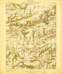
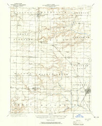
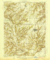
1913 Map of Colchester
USGS Topo · Published 1913About this map
The rolling prairies of West Central Illinois are deeply incised by Crooked Creek and its many tributaries, creating a landscape of agricultural plateaus and timbered ravines. In the years before World War I, this region was defined by a dense network of local institutions, with nearly every section of land supported by a named schoolhouse like the Shanghai School, Ragtown School, or Joe Duncan School. The Chicago Burlington and Quincy Railroad bisects the area, anchoring the primary settlements of Colchester, Tennessee, and Colmar. While agriculture dominated, the presence of the Reliance Mine and a nearby Clay Mine near Colchester points to the localized coal and clay extraction industries that once bolstered the local economy. Religious life is equally visible through landmarks such as Lamoine Chapel and Majorville Church, providing clear points of reference for genealogists tracing family roots across the county lines of Hancock and McDonough Counties.
Find a feature on this map
92 named features on this map. Tap any name to fly to it.
Don’t see what you’re looking for? This feature index may not catch every label — zoom into the map to look around manually.
Map Details
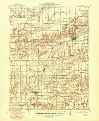
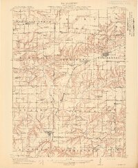
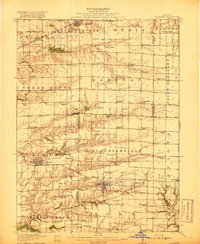
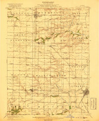
Editions of this 1913 Colchester Map
3 editions found
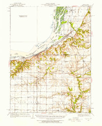
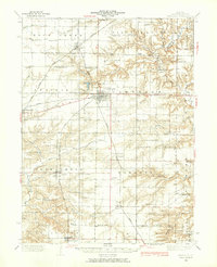
Other maps of this area

1912 · Macomb
USGS Topo · 1:62,500
1913 · Colchester
USGS Topo · 1:62,500
1914 · Macomb
USGS Topo · 1:62,500
1916 · Good Hope
USGS Topo · 1:62,500
1918 · La Harpe
USGS Topo · 1:62,500
1918 · Good Hope
USGS Topo · 1:62,500
1923 · Rushville
USGS Topo · 1:62,500
1926 · Rushville
USGS Topo · 1:62,500
1932 · Lomax
USGS Topo · 1:62,500
1933 · Carthage
USGS Topo · 1:62,500