
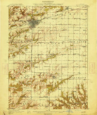
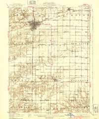
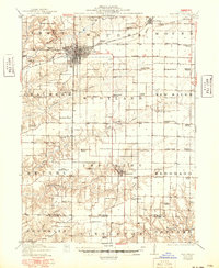
1914 Map of Macomb
USGS Topo · Published 1914About this map
Macomb serves as the primary hub of this 1912 survey, where the Chicago Burlington and Quincy railroad intersects with the Macomb and Western Illinois line. The town's grid is well-developed, flanked by industrial interests such as the Clay Mine to the north. Stretching east to west, the historic Waubonsie Trail cuts through the townships of Macomb and Mound, illustrating the importance of early overland travel routes in western Illinois.
Find a feature on this map
83 named features on this map. Tap any name to fly to it.
Don’t see what you’re looking for? This feature index may not catch every label — zoom into the map to look around manually.
Map Details
Editions of this 1914 Macomb Map
4 editions found
Other maps of this area

1912 · Macomb
USGS Topo · 1:62,500

1913 · Colchester
USGS Topo · 1:62,500

1915 · Avon
USGS Topo · 1:62,500

1916 · Good Hope
USGS Topo · 1:62,500

1918 · Vermont
USGS Topo · 1:62,500

1918 · La Harpe
USGS Topo · 1:62,500

1918 · Good Hope
USGS Topo · 1:62,500

1921 · Vermont
USGS Topo · 1:62,500

1923 · Rushville
USGS Topo · 1:62,500

1926 · Beardstown
USGS Topo · 1:62,500