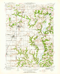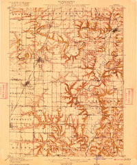
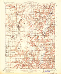
1915 Map of Avon
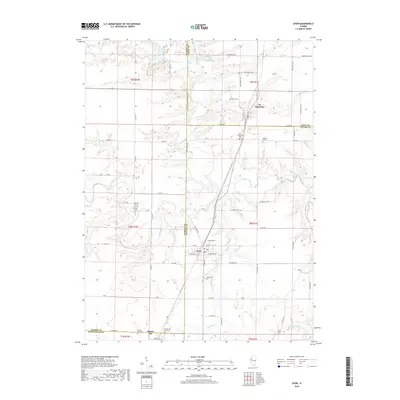
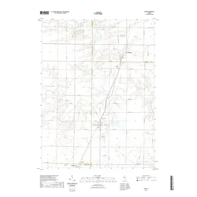
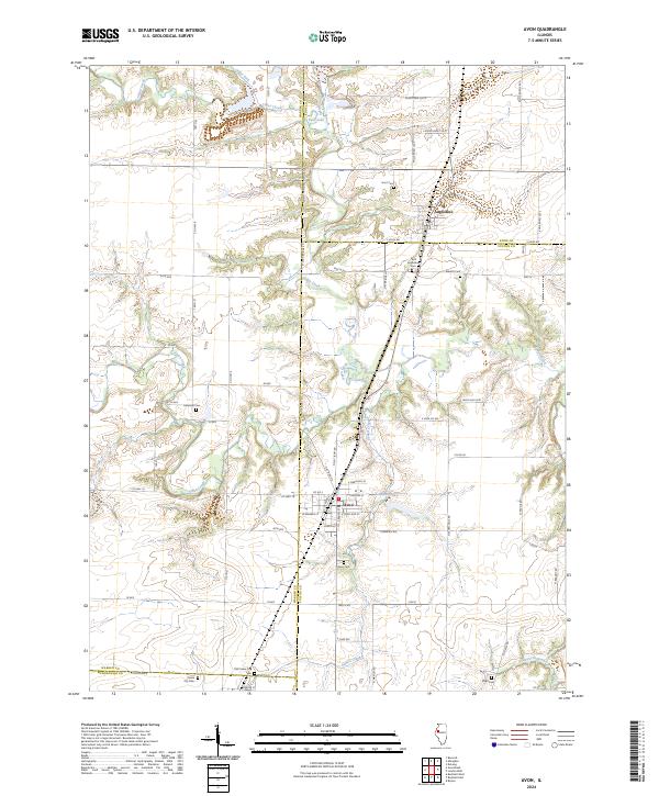
USGS Topo · Published 1915About this map
The Spoon River carves a winding path through this western Illinois landscape, defining the topography between the flat uplands of Union and the deeply dissected ravines of Deerfield. In the years before the First World War, this region was a dense network of agricultural townships, each anchored by its own decentralized system of country schools like the Sailor School, Sleepy School, and Hatch School. The rail infrastructure of the Chicago Burlington and Quincy and the Minneapolis and St Louis RR facilitates the growth of central hubs such as Avon and Prairie City. While larger settlements thrive on the tracks, river outposts like Babylon and the riverside London Mills mark traditional crossing points. Genealogists will find a wealth of local identifiers, from the Templars Hall near Lee to the numerous small bridges, including the Indian Ford Bridge and Delta Bridge, which linked these rural communities.
Find a feature on this map
89 named features on this map. Tap any name to fly to it.
Don’t see what you’re looking for? This feature index may not catch every label — zoom into the map to look around manually.
Map Details
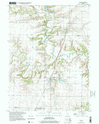
Editions of this 1915 Avon Map
3 editions found
Historical Maps of Bushnell Through Time
9 maps found