
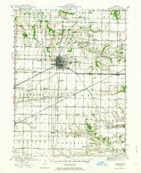
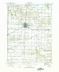
1921 Map of Monmouth
USGS Topo · Published 1961About this map
The railroad town of Monmouth serves as a major hub for western Illinois at the time of this 1920-1921 survey, where the Chicago Burlington and Quincy RR and the Minneapolis and St. Louis RR intersect. The landscape is a dense network of township sections, defined by a remarkable frequency of rural schools such as Farmers Academy, Science Hall School, and Scotchtown School. This distribution suggests a highly organized agrarian society with local education centers positioned every few miles to serve the surrounding farmsteads.
Find a feature on this map
75 named features on this map. Tap any name to fly to it.
Don’t see what you’re looking for? This feature index may not catch every label — zoom into the map to look around manually.
Map Details
Editions of this 1921 Monmouth Map
3 editions found
Other maps of this area

1915 · Avon
USGS Topo · 1:62,500

1916 · Good Hope
USGS Topo · 1:62,500

1918 · La Harpe
USGS Topo · 1:62,500

1918 · Good Hope
USGS Topo · 1:62,500

1923 · Monmouth
USGS Topo · 1:62,500

1923 · Alexis
USGS Topo · 1:62,500

1925 · Alexis
USGS Topo · 1:62,500

1925 · Galesburg
USGS Topo · 1:62,500

1927 · Galesburg
USGS Topo · 1:62,500

1934 · Oquawka
USGS Topo · 1:48,000