
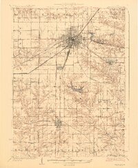
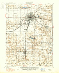
1927 Map of Galesburg
USGS Topo · Published 1927About this map
The industrial and agricultural center of Galesburg dominates this mid-1920s landscape, serving as a massive junction for the Chicago Burlington and Quincy, Atchison Topeka and Santa Fe, and several other major rail lines. This convergence of steel rails supported a dense network of nearby communities, including Knoxville, Abingdon, and the settlement at East Galesburg Randall PO. Beyond the urban rail yards, the countryside is defined by an exceptionally high density of rural schoolhouses, such as Log City School, Tie Plant School, and Thiriwell School, suggesting a highly organized township system during this era. Recreation and local social life are visible at Lake Bracken Knox County Country Club and Camp Shaubena, while the southern reaches near De Long and Hermon maintain a focus on drainage and cultivation along Indian Creek and Cedar Creek.
Find a feature on this map
88 named features on this map. Tap any name to fly to it.
Don’t see what you’re looking for? This feature index may not catch every label — zoom into the map to look around manually.
Map Details
Editions of this 1927 Galesburg Map
3 editions found
Other maps of this area

1912 · Canton
USGS Topo · 1:62,500

1915 · Avon
USGS Topo · 1:62,500

1916 · Good Hope
USGS Topo · 1:62,500

1918 · Good Hope
USGS Topo · 1:62,500

1921 · Monmouth
USGS Topo · 1:62,500

1923 · Monmouth
USGS Topo · 1:62,500

1923 · Alexis
USGS Topo · 1:62,500

1925 · Alexis
USGS Topo · 1:62,500

1925 · Galesburg
USGS Topo · 1:62,500

1931 · Galva
USGS Topo · 1:48,000