
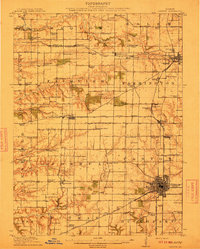
1912 Map of Canton
USGS Topo · Published 1912About this map
Canton stands as the industrial and population hub of Fulton County in the early 1900s, anchored by a dense network of coal operations and intersecting rail lines. The landscape is defined by the heavy presence of extractive industry, from Alden Mine No 6 near Farmington to the southern Star Mine No 1. This era shows a remarkably high density of rural schoolhouses, such as Hazel Dell School, Pisgah School, and Mound School, serving the many small farming townships including Joshua, Fairview, and Salem.
Find a feature on this map
96 named features on this map. Tap any name to fly to it.
Don’t see what you’re looking for? This feature index may not catch every label — zoom into the map to look around manually.
Map Details
Editions of this 1912 Canton Map
4 editions found
Other maps of this area

1915 · Avon
USGS Topo · 1:62,500

1918 · Vermont
USGS Topo · 1:62,500

1921 · Vermont
USGS Topo · 1:62,500

1925 · Havana
USGS Topo · 1:62,500

1925 · Galesburg
USGS Topo · 1:62,500

1927 · Galesburg
USGS Topo · 1:62,500

1929 · Manito
USGS Topo · 1:62,500

1930 · Glasford
USGS Topo · 1:62,500

1932 · Manito
USGS Topo · 1:62,500

1941 · Maquon
USGS Topo · 1:62,500