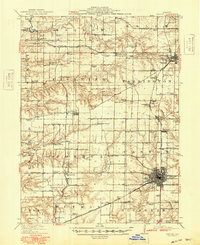
1912 Map of Canton
USGS Topo · Published 1949About this map
Coal mining and rail infrastructure define the landscape of Fulton County during this era, centered on the bustling hub of Canton. The map illustrates a dense industrial network where the Chicago Burlington and Quincy RR and the Toledo Peoria and Western RR intersect, serving numerous local extraction sites like the Canton Mine and Alden Mine No 6. This concentration of industry supported a landscape dotted with rural civic life, evidenced by the high frequency of local schoolhouses including Shad Hill School and Sunnyside School.
Find a feature on this map
93 named features on this map. Tap any name to fly to it.
Don’t see what you’re looking for? This feature index may not catch every label — zoom into the map to look around manually.
Map Details
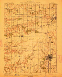
Editions of this 1912 Canton Map
4 editions found
Other maps of this area

1912 · Canton
USGS Topo · 1:62,500

1915 · Avon
USGS Topo · 1:62,500

1918 · Vermont
USGS Topo · 1:62,500

1921 · Vermont
USGS Topo · 1:62,500

1925 · Havana
USGS Topo · 1:62,500

1925 · Galesburg
USGS Topo · 1:62,500

1927 · Galesburg
USGS Topo · 1:62,500

1929 · Manito
USGS Topo · 1:62,500

1930 · Glasford
USGS Topo · 1:62,500

1932 · Manito
USGS Topo · 1:62,500