
1925 Map of Havana
USGS Topo · Published 1925About this map
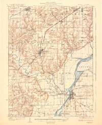
Havana serves as a critical riverfront hub at the confluence of the Illinois River and Quiver Lake, anchoring a landscape defined by its waterways and early 20th-century coal industry. To the north, the presence of the Big Creek Mine and Cripple Creek Mine near St David and Cuba illustrates the region's reliance on mineral extraction during this era. The Spoon River meanders through the western half of the survey, passing near Duncan Mills and numerous rural educational institutions like the Hulvey School and Branson School.
Find a feature on this map
91 named features on this map. Tap any name to fly to it.
Don’t see what you’re looking for? This feature index may not catch every label — zoom into the map to look around manually.
Map Details
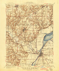
Editions of this 1925 Havana Map
3 editions found
Other maps of this area

1912 · Canton
USGS Topo · 1:62,500

1915 · Avon
USGS Topo · 1:62,500

1918 · Vermont
USGS Topo · 1:62,500

1921 · Vermont
USGS Topo · 1:62,500

1926 · Beardstown
USGS Topo · 1:62,500

1929 · Manito
USGS Topo · 1:62,500

1930 · Chandlerville
USGS Topo · 1:62,500

1930 · Glasford
USGS Topo · 1:62,500

1932 · Chandlerville
USGS Topo · 1:62,500

1932 · Manito
USGS Topo · 1:62,500