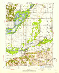
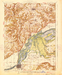
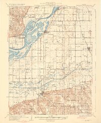
1930 Map of Chandlerville
USGS Topo · Published 1930About this map
The Illinois River and Sangamon River converge in this detailed topographic record, defining a landscape dominated by complex waterways and river-bottom agriculture. At the heart of the sheet lies Grand Island, separated from the mainland by the East Branch and surrounded by a network of named backwaters including Swan Lake, Moscow Lake, and Jack Lake. The interaction between the natural river systems and early 20th-century engineering is evident in the presence of several pumping stations and drainage features like the Snicarte Slough.
Find a feature on this map
126 named features on this map. Tap any name to fly to it.
Don’t see what you’re looking for? This feature index may not catch every label — zoom into the map to look around manually.
Map Details
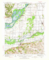
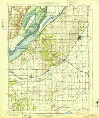
Editions of this 1930 Chandlerville Map
2 editions found
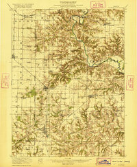
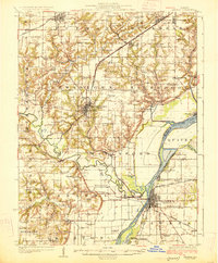
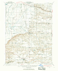
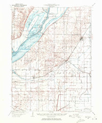
Other maps of this area

1909 · Tallula
USGS Topo · 1:62,500

1918 · Vermont
USGS Topo · 1:62,500
1921 · Vermont
USGS Topo · 1:62,500
1925 · Havana
USGS Topo · 1:62,500
1926 · Beardstown
USGS Topo · 1:62,500
1929 · Arenzville
USGS Topo · 1:62,500
1929 · Manito
USGS Topo · 1:62,500
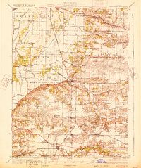
1932 · Arenzville
USGS Topo · 1:62,500
1932 · Chandlerville
USGS Topo · 1:62,500
1932 · Manito
USGS Topo · 1:62,500